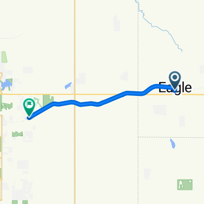
Lincoln to 807 Sage Cir, Lincoln
- 14.9 km
- 113 m
- 113 m
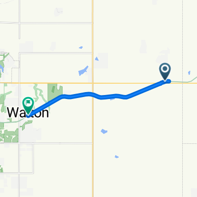
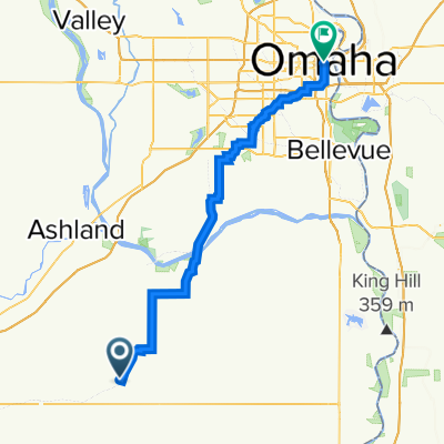
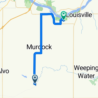
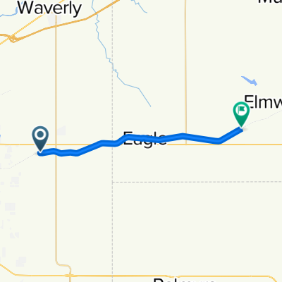
- Eagle, Nebraska, United States
A cycling route starting in Eagle, Nebraska, United States.
Overview
created this 2 years ago
Route quality
Quiet road
25.5 km
(36 %)
Road
17.7 km
(25 %)
Paved
37.5 km
(53 %)
Unpaved
21.2 km
(30 %)
Gravel
15.6 km
(22 %)
Asphalt
14.9 km
(21 %)
Continue with Bikemap
You would like to ride Nebraska Gap6: Elmwood to Omaha or customize it for your own trip? Here is what you can do with this Bikemap route:
Free trial for 3 days, or one-time payment. More about Bikemap Premium.
Discover more Premium features.
Get Bikemap PremiumFrom our community
Open it in the app