hotel
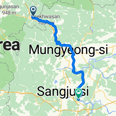
- 26.3 km
- 227 m
- 307 m
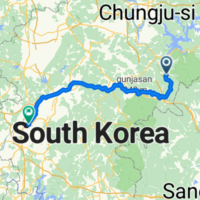
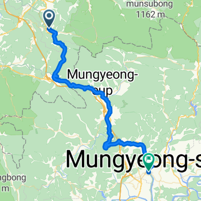
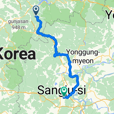
- Mungyeong, Gyeongsangbuk-do, South Korea
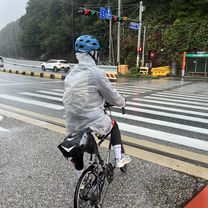
A cycling route starting in Mungyeong, Gyeongsangbuk-do, South Korea.
Overview
created this 2 years ago
Route quality
Road
42.6 km
(40 %)
Cycleway
39.4 km
(37 %)
Paved
91.5 km
(86 %)
Unpaved
1.1 km
(1 %)
Asphalt
78.8 km
(74 %)
Concrete
10.6 km
(10 %)
Continue with Bikemap
You would like to ride Suanbo - Nakdong-Ri Gumi-Si (D3) or customize it for your own trip? Here is what you can do with this Bikemap route:
Free trial for 3 days, or one-time payment. More about Bikemap Premium.
Discover more Premium features.
Get Bikemap PremiumFrom our community
Open it in the app