

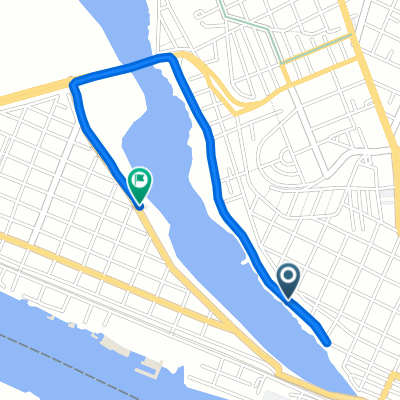
De Jazmín 311, Benito Juárez a Jazmín 311, Benito Juárez
A cycling route starting in Anahuac, Veracruz, Mexico.
Overview
About this route
- 58 min
- Duration
- 5.4 km
- Distance
- 56 m
- Ascent
- 52 m
- Descent
- 5.6 km/h
- Avg. speed
- 36 m
- Max. altitude

Route quality
Waytypes & surfaces along the route
Waytypes
Road
2.8 km
(51 %)
Quiet road
2.3 km
(41 %)
Continue with Bikemap
Use, edit, or download this cycling route
You would like to ride De Jazmín 311, Benito Juárez a Jazmín 311, Benito Juárez or customize it for your own trip? Here is what you can do with this Bikemap route:
Free features
- Save this route as favorite or in collections
- Copy & plan your own version of this route
- Sync your route with Garmin or Wahoo
Premium features
Free trial for 3 days, or one-time payment. More about Bikemap Premium.
- Navigate this route on iOS & Android
- Export a GPX / KML file of this route
- Create your custom printout (try it for free)
- Download this route for offline navigation
Discover more Premium features.
Get Bikemap PremiumFrom our community
Other popular routes starting in Anahuac
 gordo hahaha
- Distance
- 2.9 km
- Ascent
- 26 m
- Descent
- 9 m
- Location
- Anahuac, Veracruz, Mexico
 Entrenamiento subidas
- Distance
- 39.9 km
- Ascent
- 330 m
- Descent
- 330 m
- Location
- Anahuac, Veracruz, Mexico
 trabajooo
- Distance
- 4.3 km
- Ascent
- 61 m
- Descent
- 23 m
- Location
- Anahuac, Veracruz, Mexico
 De Torreón 403(1-2), Tampico a Ramos Arizpe 108, Ciudad Madero
- Distance
- 12.5 km
- Ascent
- 59 m
- Descent
- 40 m
- Location
- Anahuac, Veracruz, Mexico
 Estrella 104, Tampico to Estrella 104, Tampico
- Distance
- 22.4 km
- Ascent
- 172 m
- Descent
- 183 m
- Location
- Anahuac, Veracruz, Mexico
 De Calle Francisco Medina Cedillo 302–306, Tampico a Boulevard Licenciado Adolfo López Mateos 2450, Tampico
- Distance
- 27.9 km
- Ascent
- 160 m
- Descent
- 172 m
- Location
- Anahuac, Veracruz, Mexico
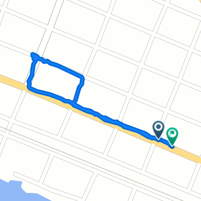 mandaditos 1
- Distance
- 1.3 km
- Ascent
- 37 m
- Descent
- 12 m
- Location
- Anahuac, Veracruz, Mexico
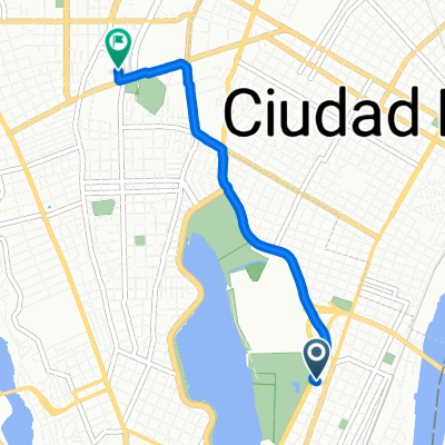
 De Doctor Alfredo Gochicoa 1018, Tampico a Doctor Alfredo Gochicoa 1008, Tampico
- Distance
- 8.1 km
- Ascent
- 61 m
- Descent
- 49 m
- Location
- Anahuac, Veracruz, Mexico
Open it in the app