
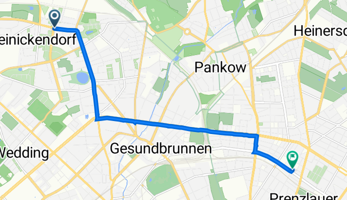
Lindauer Allee 25, Berlin nach Dunckerstraße 30, Berlin
A cycling route starting in Reinickendorf, State of Berlin, Germany.
Overview
About this route
- 22 min
- Duration
- 7 km
- Distance
- 32 m
- Ascent
- 21 m
- Descent
- 19.1 km/h
- Avg. speed
- 60 m
- Max. altitude

Route quality
Waytypes & surfaces along the route
Waytypes
Cycleway
2 km
(29 %)
Pedestrian area
1.2 km
(17 %)
Surfaces
Paved
4.3 km
(61 %)
Asphalt
4.3 km
(61 %)
Undefined
2.7 km
(39 %)
Continue with Bikemap
Use, edit, or download this cycling route
You would like to ride Lindauer Allee 25, Berlin nach Dunckerstraße 30, Berlin or customize it for your own trip? Here is what you can do with this Bikemap route:
Free features
- Save this route as favorite or in collections
- Copy & plan your own version of this route
- Sync your route with Garmin or Wahoo
Premium features
Free trial for 3 days, or one-time payment. More about Bikemap Premium.
- Navigate this route on iOS & Android
- Export a GPX / KML file of this route
- Create your custom printout (try it for free)
- Download this route for offline navigation
Discover more Premium features.
Get Bikemap PremiumFrom our community
Other popular routes starting in Reinickendorf
 Henningsdorfer Runde
- Distance
- 40.2 km
- Ascent
- 87 m
- Descent
- 86 m
- Location
- Reinickendorf, State of Berlin, Germany
 Hausstrecke
- Distance
- 80.8 km
- Ascent
- 117 m
- Descent
- 117 m
- Location
- Reinickendorf, State of Berlin, Germany
 Rund um den Flughafen
- Distance
- 18.2 km
- Ascent
- 45 m
- Descent
- 45 m
- Location
- Reinickendorf, State of Berlin, Germany
 Haustour Tegelort
- Distance
- 22.2 km
- Ascent
- 72 m
- Descent
- 69 m
- Location
- Reinickendorf, State of Berlin, Germany
 Rennrad Trainingsrunde Berlin
- Distance
- 60.6 km
- Ascent
- 105 m
- Descent
- 105 m
- Location
- Reinickendorf, State of Berlin, Germany
 Wedding - Nieder Neundorfer See - Wedding
- Distance
- 42.3 km
- Ascent
- 77 m
- Descent
- 76 m
- Location
- Reinickendorf, State of Berlin, Germany
 Tour de Jungferheide
- Distance
- 15.1 km
- Ascent
- 493 m
- Descent
- 485 m
- Location
- Reinickendorf, State of Berlin, Germany
 Sonnenschein/Sommer Runde
- Distance
- 116 km
- Ascent
- 149 m
- Descent
- 149 m
- Location
- Reinickendorf, State of Berlin, Germany
Open it in the app