
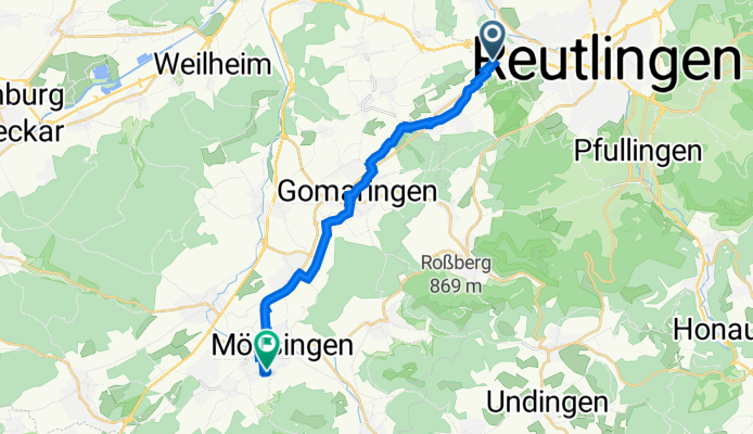
Markwiesenstraße 4, Reutlingen nach Albert-Schweitzer-Straße 4, Mössingen
A cycling route starting in Wannweil, Baden-Württemberg, Germany.
Overview
About this route
- 1 h 2 min
- Duration
- 15.6 km
- Distance
- 207 m
- Ascent
- 85 m
- Descent
- 15 km/h
- Avg. speed
- 485 m
- Max. altitude

Route quality
Waytypes & surfaces along the route
Waytypes
Quiet road
6.5 km
(42 %)
Track
4.9 km
(32 %)
Surfaces
Paved
15.4 km
(99 %)
Unpaved
0 km
(<1 %)
Asphalt
15.3 km
(98 %)
Paved (undefined)
0.1 km
(<1 %)
Continue with Bikemap
Use, edit, or download this cycling route
You would like to ride Markwiesenstraße 4, Reutlingen nach Albert-Schweitzer-Straße 4, Mössingen or customize it for your own trip? Here is what you can do with this Bikemap route:
Free features
- Save this route as favorite or in collections
- Copy & plan your own version of this route
- Sync your route with Garmin or Wahoo
Premium features
Free trial for 3 days, or one-time payment. More about Bikemap Premium.
- Navigate this route on iOS & Android
- Export a GPX / KML file of this route
- Create your custom printout (try it for free)
- Download this route for offline navigation
Discover more Premium features.
Get Bikemap PremiumFrom our community
Other popular routes starting in Wannweil
 Wannwel-Jettenburg-Kusterdingen-Wannweil
- Distance
- 10.3 km
- Ascent
- 121 m
- Descent
- 123 m
- Location
- Wannweil, Baden-Württemberg, Germany
 Goenningen - Stahleck - Reutlingen
- Distance
- 52.7 km
- Ascent
- 876 m
- Descent
- 858 m
- Location
- Wannweil, Baden-Württemberg, Germany
 30 km Rundweg
- Distance
- 28.1 km
- Ascent
- 322 m
- Descent
- 329 m
- Location
- Wannweil, Baden-Württemberg, Germany
 71km: Wannweil-TÜ-Herrenberg--STR
- Distance
- 70.8 km
- Ascent
- 616 m
- Descent
- 532 m
- Location
- Wannweil, Baden-Württemberg, Germany
 Feierabendrunde
- Distance
- 22.8 km
- Ascent
- 230 m
- Descent
- 228 m
- Location
- Wannweil, Baden-Württemberg, Germany
 Onsmettingen
- Distance
- 106 km
- Ascent
- 1,269 m
- Descent
- 1,116 m
- Location
- Wannweil, Baden-Württemberg, Germany
 Schönbuchrunde
- Distance
- 36.3 km
- Ascent
- 453 m
- Descent
- 453 m
- Location
- Wannweil, Baden-Württemberg, Germany
 Alternative Sprudeltal
- Distance
- 90.2 km
- Ascent
- 647 m
- Descent
- 674 m
- Location
- Wannweil, Baden-Württemberg, Germany
Open it in the app