

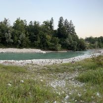
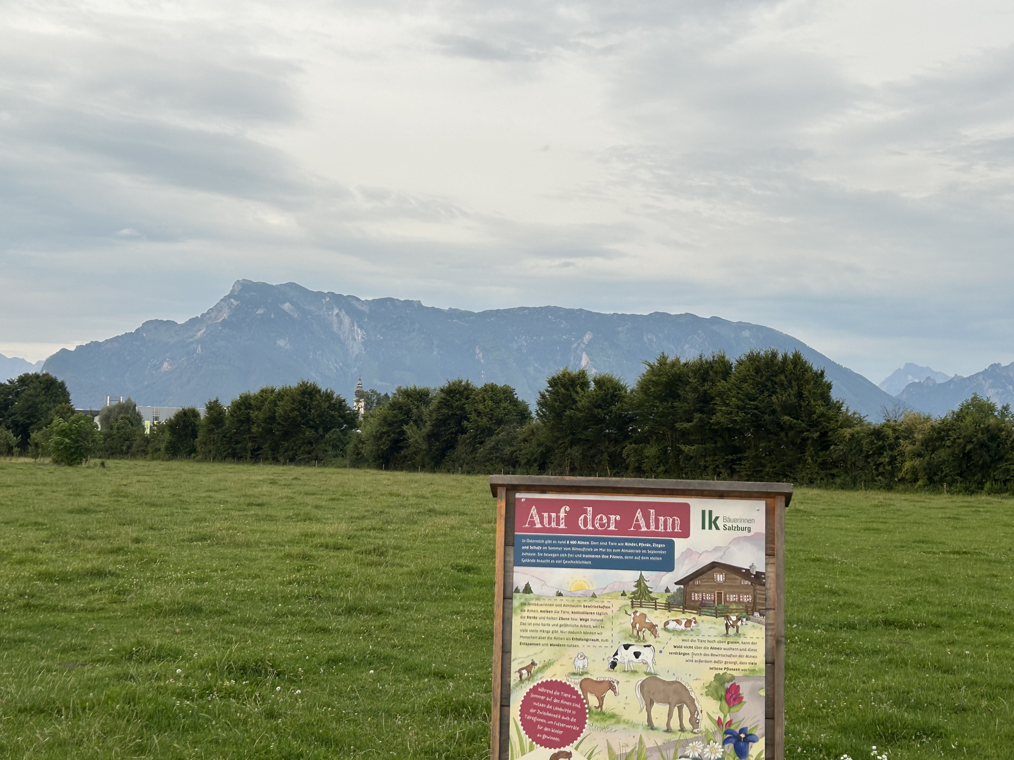
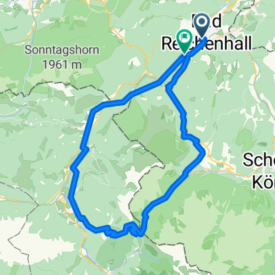
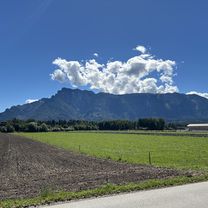
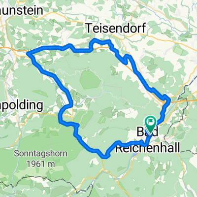
Reit_im_Winkl-Aschau-Siegsdorf
A cycling route starting in Bad Reichenhall, Bavaria, Germany.
Overview
About this route
A shortcut through Marquardtstein is possible.
- -:--
- Duration
- 146.8 km
- Distance
- 2,095 m
- Ascent
- 2,066 m
- Descent
- ---
- Avg. speed
- 807 m
- Max. altitude

Route quality
Waytypes & surfaces along the route
Waytypes
Road
22 km
(15 %)
Path
13.2 km
(9 %)
Surfaces
Paved
132.2 km
(90 %)
Unpaved
5.9 km
(4 %)
Asphalt
132.2 km
(90 %)
Gravel
4.4 km
(3 %)
Continue with Bikemap
Use, edit, or download this cycling route
You would like to ride Reit_im_Winkl-Aschau-Siegsdorf or customize it for your own trip? Here is what you can do with this Bikemap route:
Free features
- Save this route as favorite or in collections
- Copy & plan your own version of this route
- Split it into stages to create a multi-day tour
- Sync your route with Garmin or Wahoo
Premium features
Free trial for 3 days, or one-time payment. More about Bikemap Premium.
- Navigate this route on iOS & Android
- Export a GPX / KML file of this route
- Create your custom printout (try it for free)
- Download this route for offline navigation
Discover more Premium features.
Get Bikemap PremiumFrom our community
Other popular routes starting in Bad Reichenhall
 Radmarathonstrecke BGL klein
- Distance
- 111.8 km
- Ascent
- 2,215 m
- Descent
- 2,189 m
- Location
- Bad Reichenhall, Bavaria, Germany
 Baderstraße, Bad Reichenhall nach Europastraße, Salzburg
- Distance
- 18.8 km
- Ascent
- 84 m
- Descent
- 152 m
- Location
- Bad Reichenhall, Bavaria, Germany
 Baderstraße, Bad Reichenhall nach Europastraße, Salzburg
- Distance
- 17.2 km
- Ascent
- 83 m
- Descent
- 151 m
- Location
- Bad Reichenhall, Bavaria, Germany
 Reit_im_Winkl-Aschau-Siegsdorf
- Distance
- 146.8 km
- Ascent
- 2,095 m
- Descent
- 2,066 m
- Location
- Bad Reichenhall, Bavaria, Germany
 🚵♂️Hintersee⛰️Litzlalm⛰️⛰️Unken🍂🍁Runde
- Distance
- 60.9 km
- Ascent
- 1,052 m
- Descent
- 1,018 m
- Location
- Bad Reichenhall, Bavaria, Germany
 Baderstraße, Bad Reichenhall nach Europastraße, Salzburg
- Distance
- 22 km
- Ascent
- 142 m
- Descent
- 211 m
- Location
- Bad Reichenhall, Bavaria, Germany
 Reichenhall Runde
- Distance
- 63.9 km
- Ascent
- 1,149 m
- Descent
- 1,153 m
- Location
- Bad Reichenhall, Bavaria, Germany
 Baderstraße, Bad Reichenhall nach Europastraße, Salzburg
- Distance
- 18.4 km
- Ascent
- 138 m
- Descent
- 208 m
- Location
- Bad Reichenhall, Bavaria, Germany
Open it in the app