

Welsberg Bahnhof - Thal-Aue/Assling
A cycling route starting in Welsberg-Taisten, Trentino-Alto Adige, Italy.
Overview
About this route
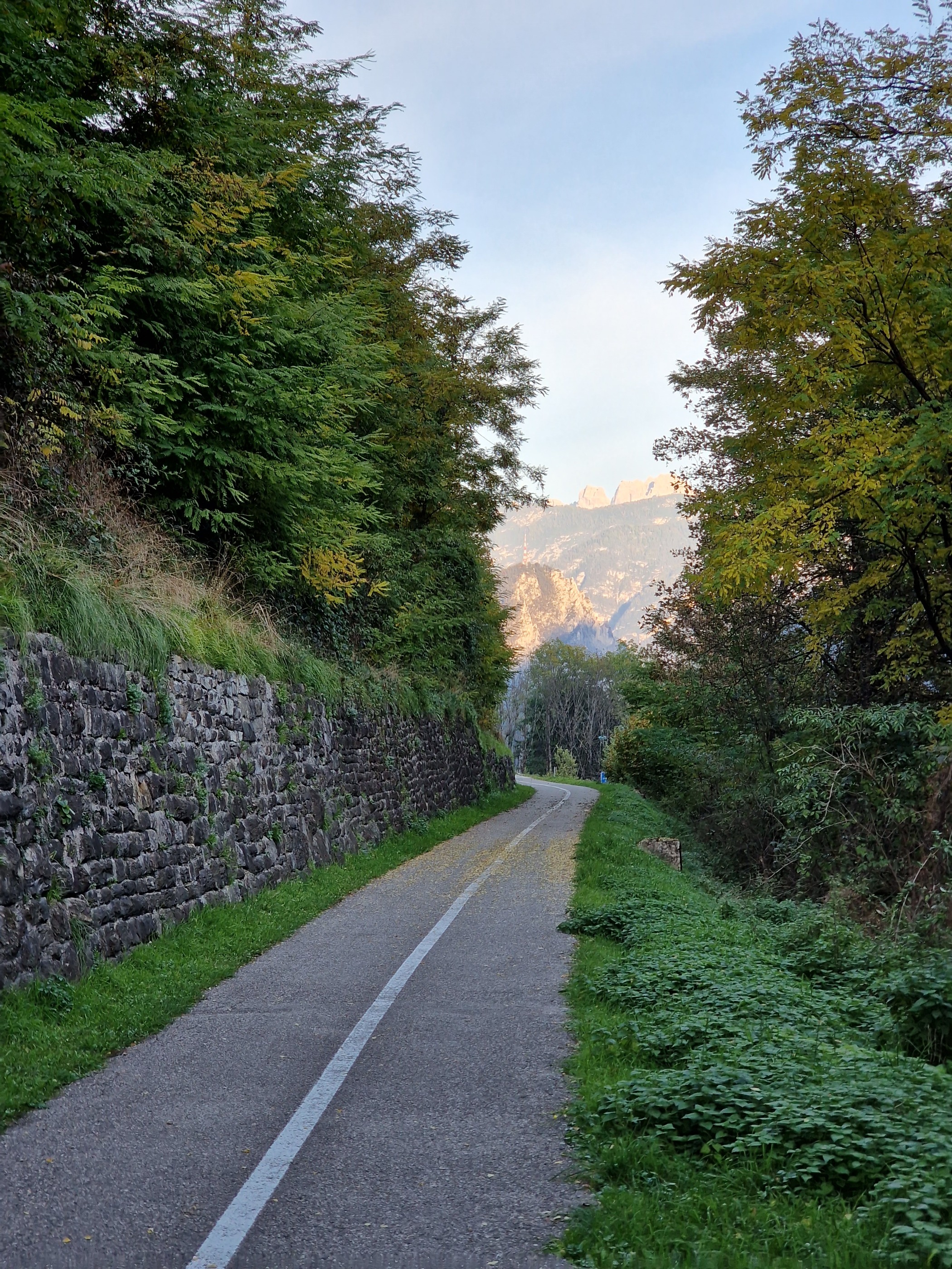
Angenehme Radstrecke vom Bahnhof in Welsberg bis Thal-Aue, Gemeinde Assling. Praktisch durchgehend markierter, asphaltierter Radweg - Ausgenommen Ortsdurchfahrten, die Orte sind einfach nicht groß genug für "echte" Radwege. Geeignet sowohl für Rennrad als auch für Mountainbike, hier aber nicht zu grobe Reifen aufziehen. Für die Genauigkeit der Routenaufzeichnung kann ich nicht garantieren, mein GPS hat das so getrackt...
- -:--
- Duration
- 48.4 km
- Distance
- 181 m
- Ascent
- 447 m
- Descent
- ---
- Avg. speed
- ---
- Max. altitude
Continue with Bikemap
Use, edit, or download this cycling route
You would like to ride Welsberg Bahnhof - Thal-Aue/Assling or customize it for your own trip? Here is what you can do with this Bikemap route:
Free features
- Save this route as favorite or in collections
- Copy & plan your own version of this route
- Sync your route with Garmin or Wahoo
Premium features
Free trial for 3 days, or one-time payment. More about Bikemap Premium.
- Navigate this route on iOS & Android
- Export a GPX / KML file of this route
- Create your custom printout (try it for free)
- Download this route for offline navigation
Discover more Premium features.
Get Bikemap PremiumFrom our community
Other popular routes starting in Welsberg-Taisten
 Zwischen Gsieser- und Pustertal
- Distance
- 32 km
- Ascent
- 936 m
- Descent
- 938 m
- Location
- Welsberg-Taisten, Trentino-Alto Adige, Italy
 My Tesido Gravel Tour
- Distance
- 116 km
- Ascent
- 2,842 m
- Descent
- 2,840 m
- Location
- Welsberg-Taisten, Trentino-Alto Adige, Italy
 Taistner Vorderalm – Taistner Hinteralm Runde
- Distance
- 21.9 km
- Ascent
- 927 m
- Descent
- 1,055 m
- Location
- Welsberg-Taisten, Trentino-Alto Adige, Italy
 7. Etappe Welsberg Calalzo
- Distance
- 76.8 km
- Ascent
- 510 m
- Descent
- 836 m
- Location
- Welsberg-Taisten, Trentino-Alto Adige, Italy
 Dolomiti: Monguelfo-St.Vigil-Monguelfo
- Distance
- 88.2 km
- Ascent
- 2,317 m
- Descent
- 2,295 m
- Location
- Welsberg-Taisten, Trentino-Alto Adige, Italy
 Welsberg - Taisten - Olang - Saller - Welsberg
- Distance
- 24.2 km
- Ascent
- 1,248 m
- Descent
- 1,148 m
- Location
- Welsberg-Taisten, Trentino-Alto Adige, Italy
 Drei Zinnen und nach Süden
- Distance
- 71.8 km
- Ascent
- 660 m
- Descent
- 1,025 m
- Location
- Welsberg-Taisten, Trentino-Alto Adige, Italy
 09b--BRAIES
- Distance
- 16.9 km
- Ascent
- 383 m
- Descent
- 384 m
- Location
- Welsberg-Taisten, Trentino-Alto Adige, Italy
Open it in the app