Tour mit Patrick, Christian, Jürgen und Erich
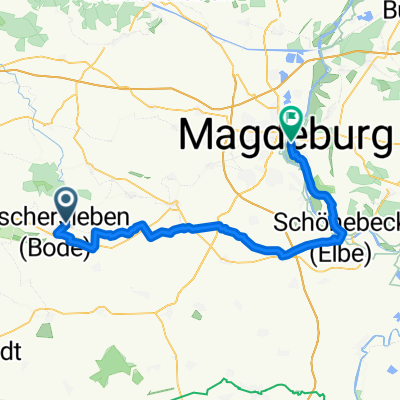
- 156.8 km
- 755 m
- 755 m
- Oschersleben, Saxony-Anhalt, Germany
A cycling route starting in Oschersleben, Saxony-Anhalt, Germany.
Overview
Start Saturday in OC,
Camping at Bremer Teich, short ride in the evening to Viktors Höhe and the next day back to Halberstadt. Quickly to the train because a heavy thunderstorm developed.
The return via Hagental can be ridden down well.
Route highlights
Richtung Schild fahren, da führt eine Brücke über die Bode, der Weg führt dan ein Hügel hinauf auf eine Verbindung zum Kieswerk
rechts führt ein Weg Richtung Eisenbahnbrücke
Continue with Bikemap
You would like to ride Oc-Bremer Teich-Halberstadt or customize it for your own trip? Here is what you can do with this Bikemap route:
Free trial for 3 days, or one-time payment. More about Bikemap Premium.
Discover more Premium features.
Get Bikemap PremiumFrom our community
Open it in the app