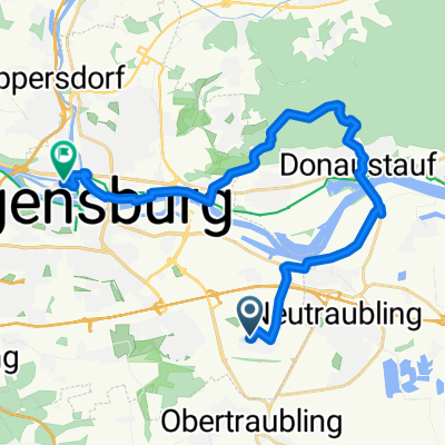
Regenpanoramatour
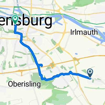
A cycling route starting in Obertraubling, Bavaria, Germany.
Overview
About this route
beautiful mix of climbs, descents, and flat sections around the Regental
- -:--
- Duration
- 92.6 km
- Distance
- 714 m
- Ascent
- 711 m
- Descent
- ---
- Avg. speed
- ---
- Max. altitude
Route quality
Waytypes & surfaces along the route
Waytypes
Road
25.9 km
(28 %)
Quiet road
17.6 km
(19 %)
Surfaces
Paved
59.3 km
(64 %)
Unpaved
3.7 km
(4 %)
Asphalt
59.3 km
(64 %)
Gravel
2.8 km
(3 %)
Continue with Bikemap
Use, edit, or download this cycling route
You would like to ride Regenpanoramatour or customize it for your own trip? Here is what you can do with this Bikemap route:
Free features
- Save this route as favorite or in collections
- Copy & plan your own version of this route
- Split it into stages to create a multi-day tour
- Sync your route with Garmin or Wahoo
Premium features
Free trial for 3 days, or one-time payment. More about Bikemap Premium.
- Navigate this route on iOS & Android
- Export a GPX / KML file of this route
- Create your custom printout (try it for free)
- Download this route for offline navigation
Discover more Premium features.
Get Bikemap PremiumFrom our community
Other popular routes starting in Obertraubling
- Regenpanoramatour
- Distance
- 92.6 km
- Ascent
- 699 m
- Descent
- 700 m
- Location
- Obertraubling, Bavaria, Germany
- Biergarten Huf u. Adlersberg
- Distance
- 18.2 km
- Ascent
- 205 m
- Descent
- 151 m
- Location
- Obertraubling, Bavaria, Germany
- Feng Shui Hohe-Linie Tour
- Distance
- 38 km
- Ascent
- 333 m
- Descent
- 334 m
- Location
- Obertraubling, Bavaria, Germany
- Quick bike tour through Obertraubling
- Distance
- 7.5 km
- Ascent
- 83 m
- Descent
- 78 m
- Location
- Obertraubling, Bavaria, Germany
- Obertraubling-Seppenhausen-Obertraubling
- Distance
- 48.4 km
- Ascent
- 50 m
- Descent
- 50 m
- Location
- Obertraubling, Bavaria, Germany
- Regenpanoramatour
- Distance
- 92.6 km
- Ascent
- 698 m
- Descent
- 699 m
- Location
- Obertraubling, Bavaria, Germany
- 2. Welt-Kult-Tour - 175 km - RTF
- Distance
- 172.3 km
- Ascent
- 1,908 m
- Descent
- 1,855 m
- Location
- Obertraubling, Bavaria, Germany
- Obertraubling-Matting und zurück
- Distance
- 32.5 km
- Ascent
- 249 m
- Descent
- 242 m
- Location
- Obertraubling, Bavaria, Germany
Open it in the app