East Black Street 386, Rock Hill to Mount Gallant Road 1785, Rock Hill
- 10.3 km
- 55 m
- 100 m
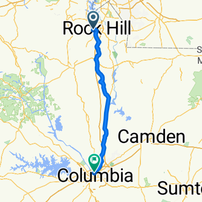
- Rock Hill, South Carolina, United States
A cycling route starting in Rock Hill, South Carolina, United States.
Overview
created this 3 years ago
Route quality
Road
15 km
70 %
Quiet road
1.3 km
6 %
Paved
11.8 km
(55 %)
Asphalt
11.4 km
53 %
Concrete
0.4 km
2 %
Undefined
9.6 km
45 %
Continue with Bikemap
You would like to ride Rock Hill To Tega Cay or customize it for your own trip? Here is what you can do with this Bikemap route:
Free trial for 3 days, or one-time payment. More about Bikemap Premium.
Discover more Premium features.
Get Bikemap PremiumFrom our community
Open it in the app