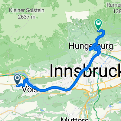
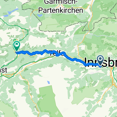
Alpequer3
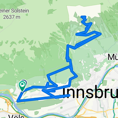
A cycling route starting in Völs, Tyrol, Austria.
Overview
About this route
- -:--
- Duration
- 237.3 km
- Distance
- 4,005 m
- Ascent
- 4,180 m
- Descent
- ---
- Avg. speed
- 1,678 m
- Max. altitude
Route quality
Waytypes & surfaces along the route
Waytypes
Track
85.4 km
(36 %)
Quiet road
47.5 km
(20 %)
Surfaces
Paved
194.6 km
(82 %)
Unpaved
35.6 km
(15 %)
Asphalt
185.1 km
(78 %)
Gravel
28.5 km
(12 %)
Route highlights
Points of interest along the route
Point of interest after 29.9 km
Continue with Bikemap
Use, edit, or download this cycling route
You would like to ride Alpequer3 or customize it for your own trip? Here is what you can do with this Bikemap route:
Free features
- Save this route as favorite or in collections
- Copy & plan your own version of this route
- Split it into stages to create a multi-day tour
- Sync your route with Garmin or Wahoo
Premium features
Free trial for 3 days, or one-time payment. More about Bikemap Premium.
- Navigate this route on iOS & Android
- Export a GPX / KML file of this route
- Create your custom printout (try it for free)
- Download this route for offline navigation
Discover more Premium features.
Get Bikemap PremiumFrom our community
Other popular routes starting in Völs
INNSBRUCK - STERZING (stadtplatz)- Distance
- 58 km
- Ascent
- 994 m
- Descent
- 621 m
- Location
- Völs, Tyrol, Austria
Alpequer3- Distance
- 237.3 km
- Ascent
- 4,005 m
- Descent
- 4,180 m
- Location
- Völs, Tyrol, Austria
Campingplatz Kranebitten - Höttinger Alm- Distance
- 12.8 km
- Ascent
- 996 m
- Descent
- 122 m
- Location
- Völs, Tyrol, Austria
kleine Innsbrucker Nordkettenrunde- Distance
- 20.2 km
- Ascent
- 697 m
- Descent
- 695 m
- Location
- Völs, Tyrol, Austria
Kühtai Sattel 2009- Distance
- 55.3 km
- Ascent
- 1,805 m
- Descent
- 1,740 m
- Location
- Völs, Tyrol, Austria
von Innsbruck nach Cavaion am Gardasee- Distance
- 418.8 km
- Ascent
- 2,288 m
- Descent
- 2,648 m
- Location
- Völs, Tyrol, Austria
Inn túra 6.nap- Distance
- 89.3 km
- Ascent
- 29 m
- Descent
- 119 m
- Location
- Völs, Tyrol, Austria
Völs-Kematen-Sellrain-Gries-St. Sigmund-Haggen-Kühtai-Ötz-und zurück- Distance
- 92.1 km
- Ascent
- 3,151 m
- Descent
- 3,140 m
- Location
- Völs, Tyrol, Austria
Open it in the app

