

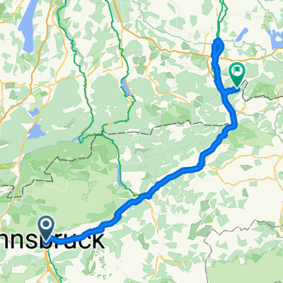
Alpequer3
A cycling route starting in Innsbruck, Tyrol, Austria.
Overview
About this route
- -:--
- Duration
- 241.5 km
- Distance
- 3,834 m
- Ascent
- 4,015 m
- Descent
- ---
- Avg. speed
- 1,678 m
- Max. altitude
Route quality
Waytypes & surfaces along the route
Waytypes
Track
84.5 km
(35 %)
Quiet road
48.3 km
(20 %)
Surfaces
Paved
195.6 km
(81 %)
Unpaved
33.8 km
(14 %)
Asphalt
185.9 km
(77 %)
Gravel
29 km
(12 %)
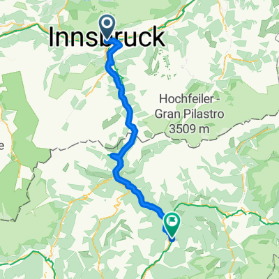
Route highlights
Points of interest along the route
Point of interest after 33.8 km
Continue with Bikemap
Use, edit, or download this cycling route
You would like to ride Alpequer3 or customize it for your own trip? Here is what you can do with this Bikemap route:
Free features
- Save this route as favorite or in collections
- Copy & plan your own version of this route
- Split it into stages to create a multi-day tour
- Sync your route with Garmin or Wahoo
Premium features
Free trial for 3 days, or one-time payment. More about Bikemap Premium.
- Navigate this route on iOS & Android
- Export a GPX / KML file of this route
- Create your custom printout (try it for free)
- Download this route for offline navigation
Discover more Premium features.
Get Bikemap PremiumFrom our community
Other popular routes starting in Innsbruck
 Anichstraße, Innsbruck nach Nußdorf am Inn
- Distance
- 147.2 km
- Ascent
- 1,088 m
- Descent
- 561 m
- Location
- Innsbruck, Tyrol, Austria
 Escape from Austria with 3T
- Distance
- 213.4 km
- Ascent
- 1,779 m
- Descent
- 1,682 m
- Location
- Innsbruck, Tyrol, Austria
 Von Brixen bis Trient
- Distance
- 97.6 km
- Ascent
- 2,740 m
- Descent
- 2,758 m
- Location
- Innsbruck, Tyrol, Austria
 O04InnsbruckAirBnB
- Distance
- 0.5 km
- Ascent
- 3 m
- Descent
- 3 m
- Location
- Innsbruck, Tyrol, Austria
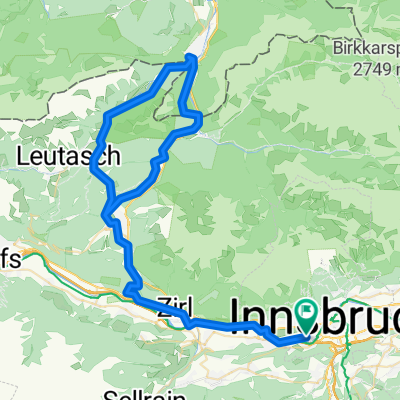 Innsbruck Mittenwald and back again
- Distance
- 83.3 km
- Ascent
- 1,693 m
- Descent
- 1,692 m
- Location
- Innsbruck, Tyrol, Austria
 Innsbruck / Zirl / Magdeburger Hüttn / Kranebitten
- Distance
- 52.2 km
- Ascent
- 1,200 m
- Descent
- 1,199 m
- Location
- Innsbruck, Tyrol, Austria
 Fürstenweg-Seegrube über Dorfgasse
- Distance
- 25.1 km
- Ascent
- 1,318 m
- Descent
- 1,322 m
- Location
- Innsbruck, Tyrol, Austria
 Über den Brenner
- Distance
- 71.5 km
- Ascent
- 1,136 m
- Descent
- 770 m
- Location
- Innsbruck, Tyrol, Austria
Open it in the app