

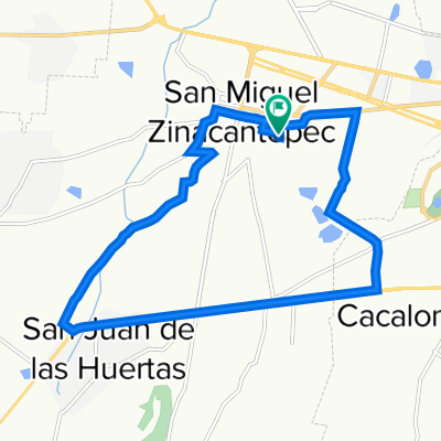
De Circuito Vial Acahualco 511, San Miguel Zinacantepec a General José Vicente Villada 4 a, Toluca de Lerdo
A cycling route starting in San Miguel Zinacantepec, Estado de México, Mexico.
Overview
About this route
- 41 min
- Duration
- 14.4 km
- Distance
- 0 m
- Ascent
- 117 m
- Descent
- 21.3 km/h
- Avg. speed
- 2,763 m
- Max. altitude

Route photos

Continue with Bikemap
Use, edit, or download this cycling route
You would like to ride De Circuito Vial Acahualco 511, San Miguel Zinacantepec a General José Vicente Villada 4 a, Toluca de Lerdo or customize it for your own trip? Here is what you can do with this Bikemap route:
Free features
- Save this route as favorite or in collections
- Copy & plan your own version of this route
- Sync your route with Garmin or Wahoo
Premium features
Free trial for 3 days, or one-time payment. More about Bikemap Premium.
- Navigate this route on iOS & Android
- Export a GPX / KML file of this route
- Create your custom printout (try it for free)
- Download this route for offline navigation
Discover more Premium features.
Get Bikemap PremiumFrom our community
Other popular routes starting in San Miguel Zinacantepec
 Boulevard Licenciado Adolfo López Mateos 227–247, San Miguel Zinacantepec a 001, Rancho San Martín
- Distance
- 80.6 km
- Ascent
- 371 m
- Descent
- 575 m
- Location
- San Miguel Zinacantepec, Estado de México, Mexico
 Alameda 2000
- Distance
- 14.9 km
- Ascent
- 196 m
- Descent
- 204 m
- Location
- San Miguel Zinacantepec, Estado de México, Mexico
 De Independencia Oriente 516, San Miguel Zinacantepec a Independencia Oriente 516, San Miguel Zinacantepec
- Distance
- 19.9 km
- Ascent
- 58 m
- Descent
- 45 m
- Location
- San Miguel Zinacantepec, Estado de México, Mexico
 De Avenida Almoloya de Juárez a Paseo Presidente Adolfo López Mateos
- Distance
- 11.5 km
- Ascent
- 152 m
- Descent
- 150 m
- Location
- San Miguel Zinacantepec, Estado de México, Mexico
 De Independencia Oriente 516, San Miguel Zinacantepec a Vía sin nombre
- Distance
- 11.1 km
- Ascent
- 129 m
- Descent
- 51 m
- Location
- San Miguel Zinacantepec, Estado de México, Mexico
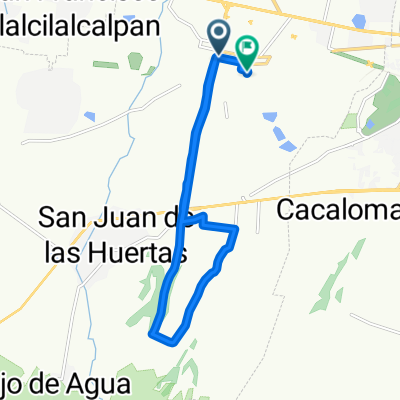 De Calle El Pipila 100, San Miguel Zinacantepec a Independencia Oriente 516, San Miguel Zinacantepec
- Distance
- 16.9 km
- Ascent
- 84 m
- Descent
- 165 m
- Location
- San Miguel Zinacantepec, Estado de México, Mexico
 Recorded via Apple Watch - 19/01/21 19:32
- Distance
- 16.7 km
- Ascent
- 396 m
- Descent
- 396 m
- Location
- San Miguel Zinacantepec, Estado de México, Mexico
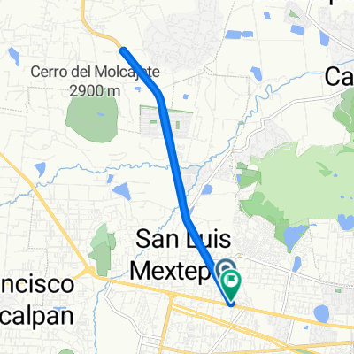
 Boulevard Solidaridad las Torres, San Luis Mextepec a Calle el Pípila 406, San Miguel Zinacantepec
- Distance
- 31.1 km
- Ascent
- 411 m
- Descent
- 416 m
- Location
- San Miguel Zinacantepec, Estado de México, Mexico
Open it in the app