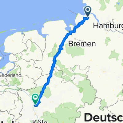
- 16.7 km
- 122 m
- 123 m
- Cadenberge, Lower Saxony, Germany
Cuxland-Rundweg R 04 (kurz)
A cycling route starting in Cadenberge, Lower Saxony, Germany.
Overview
About this route
From the Cuxlandrundweg R 04, there are two variants. The one presented here is the shorter route and corresponds to the cycling tracks of Wingst 'Strampelpfade 2009' and is marked as R 04. The longer variant leads to the left and right of the Oste, additionally from Geversdorf to Neuhaus/Oste, a noteworthy little spot with historical buildings and a motorhome pitch. The tour leads past the Graf-Bremer Park in Cadenberge to Geversdorf at the Oste. There it is crossed, and it continues via Deutsche Fährstraße into the idyllic Oberndorf, where the Oste is crossed again. Through Oberndorf-Braak and Ahrensflucht, the route continues to Wingst-Dobrock (crossing of the B73) via side roads, before entering the nature reserve 'Balksee und Randmoore'. Road cyclists should instead cycle not via the Seemorrweg (incorrectly marked as Süderbusch on the map) but via SÜderbusch and the Angelerstraße to Balksee. From there, it goes along the Neuhaus-Bülkauer Canal to Zollbaum, where the route leads into the Wingst Forest and back to Cadenberge via the North Sea cycling path. A beautiful tour with a lot of variety in the landscape. In Cadenberge, there is a bike rental and service (Fahrradhalle Schlüer, Gewerbestraße). The appropriate cycling map can be ordered for free at www.wingst.de.
- -:--
- Duration
- 44.3 km
- Distance
- 72 m
- Ascent
- 74 m
- Descent
- ---
- Avg. speed
- 27 m
- Max. altitude
Route quality
Waytypes & surfaces along the route
Waytypes
Quiet road
26.6 km
(60 %)
Road
7.5 km
(17 %)
Surfaces
Paved
27.4 km
(62 %)
Unpaved
5.8 km
(13 %)
Asphalt
23.5 km
(53 %)
Paved (undefined)
4 km
(9 %)
Continue with Bikemap
Use, edit, or download this cycling route
You would like to ride Cuxland-Rundweg R 04 (kurz) or customize it for your own trip? Here is what you can do with this Bikemap route:
Free features
- Save this route as favorite or in collections
- Copy & plan your own version of this route
- Sync your route with Garmin or Wahoo
Premium features
Free trial for 3 days, or one-time payment. More about Bikemap Premium.
- Navigate this route on iOS & Android
- Export a GPX / KML file of this route
- Create your custom printout (try it for free)
- Download this route for offline navigation
Discover more Premium features.
Get Bikemap PremiumFrom our community
Other popular routes starting in Cadenberge
- Cadenberge -> Deutscher Olymp -> Ellerbruch -> Cadenberge
- Cuxland-Rundweg R 04 (kurz)
- 44.3 km
- 72 m
- 74 m
- Cadenberge, Lower Saxony, Germany
- kleine Runde um die Wingst
- 31.6 km
- 125 m
- 127 m
- Cadenberge, Lower Saxony, Germany
- Fitnesstour von Cadenberge nach Dorum und zurück
- 104.2 km
- 50 m
- 57 m
- Cadenberge, Lower Saxony, Germany
- CTF Wingst 2013 54km Aufzeichnung
- 54.7 km
- 260 m
- 259 m
- Cadenberge, Lower Saxony, Germany
- Duisburg-Cadenberge
- 390.2 km
- 967 m
- 937 m
- Cadenberge, Lower Saxony, Germany
- 70 km durch den LK Cuxhaven
- 70.6 km
- 41 m
- 43 m
- Cadenberge, Lower Saxony, Germany
- Kurze Ostetour
- 19.4 km
- 9 m
- 9 m
- Cadenberge, Lower Saxony, Germany
Open it in the app


