De Molta-Dessus 1, Les Ponts-de-Martel à Place de la Mairie 2, Ronchamp
A cycling route starting in Les Ponts-de-Martel, Canton of Neuchâtel, Switzerland.
Overview
About this route
- 11 h 17 min
- Duration
- 157.7 km
- Distance
- 2,328 m
- Ascent
- 3,089 m
- Descent
- 14 km/h
- Avg. speed
- 1,200 m
- Max. altitude
Route quality
Waytypes & surfaces along the route
Waytypes
Quiet road
63.1 km
(40 %)
Cycleway
31.5 km
(20 %)
Surfaces
Paved
78.9 km
(50 %)
Unpaved
3.2 km
(2 %)
Asphalt
72.5 km
(46 %)
Paved (undefined)
4.7 km
(3 %)
Continue with Bikemap
Use, edit, or download this cycling route
You would like to ride De Molta-Dessus 1, Les Ponts-de-Martel à Place de la Mairie 2, Ronchamp or customize it for your own trip? Here is what you can do with this Bikemap route:
Free features
- Save this route as favorite or in collections
- Copy & plan your own version of this route
- Split it into stages to create a multi-day tour
- Sync your route with Garmin or Wahoo
Premium features
Free trial for 3 days, or one-time payment. More about Bikemap Premium.
- Navigate this route on iOS & Android
- Export a GPX / KML file of this route
- Create your custom printout (try it for free)
- Download this route for offline navigation
Discover more Premium features.
Get Bikemap PremiumFrom our community
Other popular routes starting in Les Ponts-de-Martel
- Jura 4 + 5.1
- Distance
- 48.4 km
- Ascent
- 1,154 m
- Descent
- 975 m
- Location
- Les Ponts-de-Martel, Canton of Neuchâtel, Switzerland
- Jura 4.2+5
- Distance
- 59.5 km
- Ascent
- 846 m
- Descent
- 1,120 m
- Location
- Les Ponts-de-Martel, Canton of Neuchâtel, Switzerland
- De Grande-Rue à Wabern bei Bern
- Distance
- 93.7 km
- Ascent
- 1,167 m
- Descent
- 1,619 m
- Location
- Les Ponts-de-Martel, Canton of Neuchâtel, Switzerland
- De Molta-Dessus 1, Les Ponts-de-Martel à Place de la Mairie 2, Ronchamp
- Distance
- 157.7 km
- Ascent
- 2,328 m
- Descent
- 3,089 m
- Location
- Les Ponts-de-Martel, Canton of Neuchâtel, Switzerland
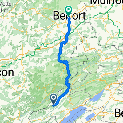
- De Vers Lermite 10, La Chaux-du-Milieu à Rue Edouard-Dubied, Couvet
- Distance
- 18.6 km
- Ascent
- 265 m
- Descent
- 607 m
- Location
- Les Ponts-de-Martel, Canton of Neuchâtel, Switzerland
- Etappe 4 Saignelegier - Vallorbe
- Distance
- 105.3 km
- Ascent
- 1,274 m
- Descent
- 1,556 m
- Location
- Les Ponts-de-Martel, Canton of Neuchâtel, Switzerland
- Die 3 Seen - dag 5
- Distance
- 108.3 km
- Ascent
- 608 m
- Descent
- 1,326 m
- Location
- Les Ponts-de-Martel, Canton of Neuchâtel, Switzerland
- De Rue de la Prairie 1, Les Ponts-de-Martel à Marktgasse 31, Bern
- Distance
- 92.5 km
- Ascent
- 1,134 m
- Descent
- 1,592 m
- Location
- Les Ponts-de-Martel, Canton of Neuchâtel, Switzerland
Open it in the app