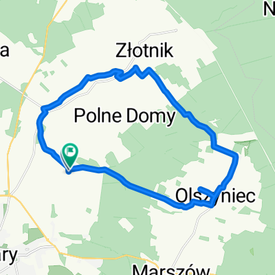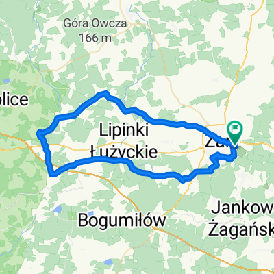
Słowicza do Słowicza
- 50.7 km
- 195 m
- 242 m
- Żary, Lubusz Voivodship, Poland
A cycling route starting in Żary, Lubusz Voivodship, Poland.
Overview
null
created this 2 years ago


Route quality
Track
17.5 km
(34 %)
Quiet road
13.9 km
(27 %)
Paved
20.1 km
(39 %)
Unpaved
11.9 km
(23 %)
Asphalt
19.6 km
(38 %)
Unpaved (undefined)
5.7 km
(11 %)
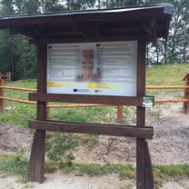
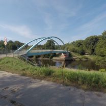
Route highlights

Kopalnia Maria

Wieża Bismarcka

Kamienny Krąg

Góra Żarska

Wieża Widokowa

Mauzoleum

Elektrownia Łoza

Żarska Arkadia

Zbójnicki Zamek

Słup Kolejki Linowej
Continue with Bikemap
You would like to ride Zielony Las 5️⃣2️⃣🚴🏻🌲🌳 or customize it for your own trip? Here is what you can do with this Bikemap route:
Free trial for 3 days, or one-time payment. More about Bikemap Premium.
Discover more Premium features.
Get Bikemap PremiumFrom our community
Open it in the app