

drugi dan
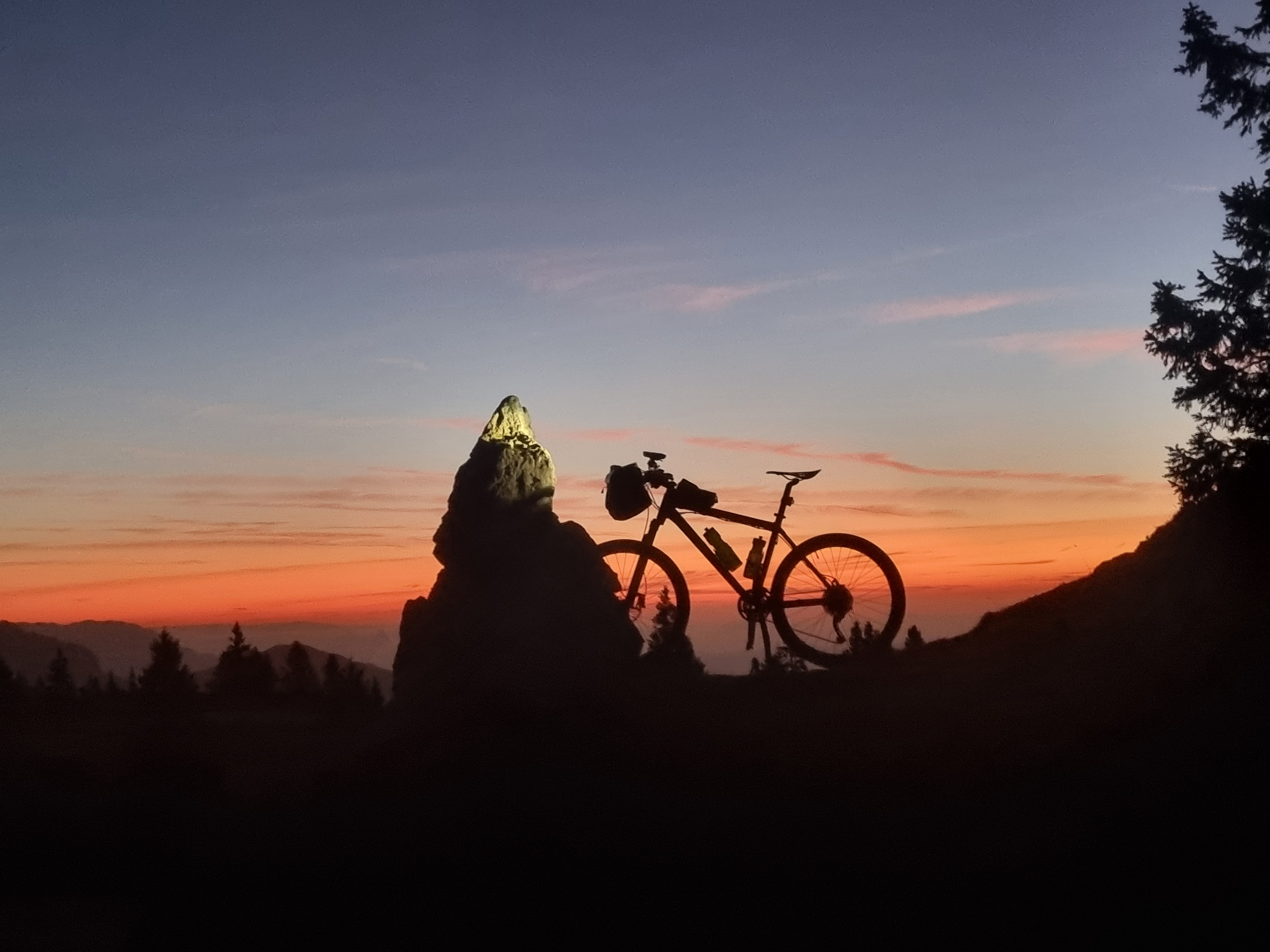
A cycling route starting in Topolšica, Občina Šoštanj, Slovenia.
Overview
About this route
- -:--
- Duration
- 60.7 km
- Distance
- 903 m
- Ascent
- 1,753 m
- Descent
- ---
- Avg. speed
- 1,110 m
- Max. altitude
Route quality
Waytypes & surfaces along the route
Waytypes
Quiet road
28.5 km
(47 %)
Road
15.8 km
(26 %)
Surfaces
Paved
26.1 km
(43 %)
Unpaved
12.8 km
(21 %)
Asphalt
21.3 km
(35 %)
Gravel
9.7 km
(16 %)
Continue with Bikemap
Use, edit, or download this cycling route
You would like to ride drugi dan or customize it for your own trip? Here is what you can do with this Bikemap route:
Free features
- Save this route as favorite or in collections
- Copy & plan your own version of this route
- Sync your route with Garmin or Wahoo
Premium features
Free trial for 3 days, or one-time payment. More about Bikemap Premium.
- Navigate this route on iOS & Android
- Export a GPX / KML file of this route
- Create your custom printout (try it for free)
- Download this route for offline navigation
Discover more Premium features.
Get Bikemap PremiumFrom our community
Other popular routes starting in Topolšica
 Topolšica
- Distance
- 34.4 km
- Ascent
- 341 m
- Descent
- 361 m
- Location
- Topolšica, Občina Šoštanj, Slovenia
 Gorski triatlon Smrekovec - Tek
- Distance
- 3.4 km
- Ascent
- 589 m
- Descent
- 0 m
- Location
- Topolšica, Občina Šoštanj, Slovenia
 drugi dan
- Distance
- 60.7 km
- Ascent
- 903 m
- Descent
- 1,753 m
- Location
- Topolšica, Občina Šoštanj, Slovenia
 Okoli Raduhe
- Distance
- 104 km
- Ascent
- 1,723 m
- Descent
- 1,725 m
- Location
- Topolšica, Občina Šoštanj, Slovenia
 Peca_STKP
- Distance
- 66.1 km
- Ascent
- 1,801 m
- Descent
- 1,807 m
- Location
- Topolšica, Občina Šoštanj, Slovenia
 Sleme - Smrekovec
- Distance
- 8.5 km
- Ascent
- 522 m
- Descent
- 226 m
- Location
- Topolšica, Občina Šoštanj, Slovenia
 Topolšica-Smrekovec-Golte
- Distance
- 30.2 km
- Ascent
- 1,293 m
- Descent
- 255 m
- Location
- Topolšica, Občina Šoštanj, Slovenia
 Bele vode - Uršlja gora
- Distance
- 41 km
- Ascent
- 1,291 m
- Descent
- 1,291 m
- Location
- Topolšica, Občina Šoštanj, Slovenia
Open it in the app