
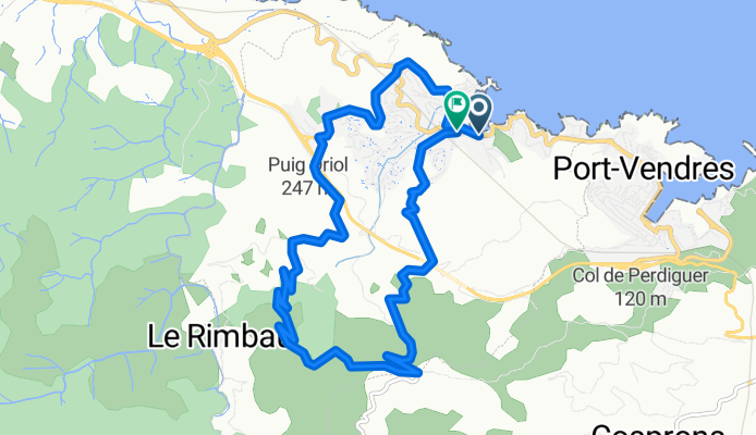
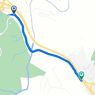
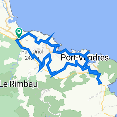
D86-3
A cycling route starting in Collioure, Occitanie, France.
Overview
About this route
- -:--
- Duration
- 12.5 km
- Distance
- 434 m
- Ascent
- 431 m
- Descent
- ---
- Avg. speed
- ---
- Max. altitude
Continue with Bikemap
Use, edit, or download this cycling route
You would like to ride D86-3 or customize it for your own trip? Here is what you can do with this Bikemap route:
Free features
- Save this route as favorite or in collections
- Copy & plan your own version of this route
- Sync your route with Garmin or Wahoo
Premium features
Free trial for 3 days, or one-time payment. More about Bikemap Premium.
- Navigate this route on iOS & Android
- Export a GPX / KML file of this route
- Create your custom printout (try it for free)
- Download this route for offline navigation
Discover more Premium features.
Get Bikemap PremiumFrom our community
Other popular routes starting in Collioure
 Colliore -Limoux
- Distance
- 173.6 km
- Ascent
- 2,007 m
- Descent
- 1,844 m
- Location
- Collioure, Occitanie, France
 Tour de Madéloc
- Distance
- 36.4 km
- Ascent
- 979 m
- Descent
- 979 m
- Location
- Collioure, Occitanie, France
 Chemin du Mas Christine, Argelès-sur-Mer to D 914, Collioure
- Distance
- 1.1 km
- Ascent
- 70 m
- Descent
- 31 m
- Location
- Collioure, Occitanie, France
 Etapa 1 - R
- Distance
- 142.1 km
- Ascent
- 1,504 m
- Descent
- 1,227 m
- Location
- Collioure, Occitanie, France
 Collioure - Fort St. Elmo
- Distance
- 23.9 km
- Ascent
- 569 m
- Descent
- 569 m
- Location
- Collioure, Occitanie, France
 Collioure to Cara via the hills
- Distance
- 124.8 km
- Ascent
- 4,782 m
- Descent
- 4,780 m
- Location
- Collioure, Occitanie, France
 2007 Pyrenäen
- Distance
- 877.6 km
- Ascent
- 2,708 m
- Descent
- 2,719 m
- Location
- Collioure, Occitanie, France
 Colliore -Limoux
- Distance
- 173.6 km
- Ascent
- 1,940 m
- Descent
- 1,783 m
- Location
- Collioure, Occitanie, France
Open it in the app