Rosdorf - Varmissen - Dransfeld - Hoher Hagen - Jühnde - Volkerode und zurück
- 38.3 km
- 373 m
- 373 m
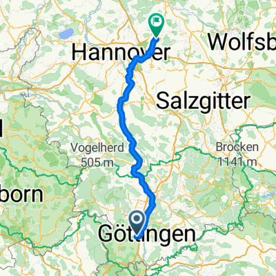
- Rosdorf, Lower Saxony, Germany
A cycling route starting in Rosdorf, Lower Saxony, Germany.
Overview
For everyone a cycling marathon with a few meters of elevation as normal.
Have fun!
Route quality
Road
24 km
(14 %)
Quiet road
15.4 km
(9 %)
Paved
113.1 km
(66 %)
Unpaved
10.3 km
(6 %)
Asphalt
111.4 km
(65 %)
Ground
6.9 km
(4 %)
Continue with Bikemap
You would like to ride Gö_Meißner_Friedland_Hoher Hagen_Gö or customize it for your own trip? Here is what you can do with this Bikemap route:
Free trial for 3 days, or one-time payment. More about Bikemap Premium.
Discover more Premium features.
Get Bikemap PremiumFrom our community
Open it in the app