20160708_131612.gpx
- 0.1 km
- 0 m
- 0 m
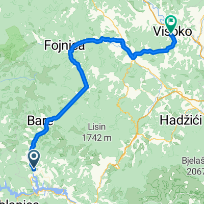
- Jablanica, Federation of Bosnia and Herzegovina, Bosnia and Herzegovina
A cycling route starting in Jablanica, Federation of Bosnia and Herzegovina, Bosnia and Herzegovina.
Overview
30km sur une route principale au début, en descente, puis 50 km sur une route secondaire.
created this 2 years ago
Route quality
Quiet road
28.6 km
(34 %)
Road
21.1 km
(25 %)
Paved
64 km
(76 %)
Asphalt
64 km
(76 %)
Undefined
20.2 km
(24 %)
Continue with Bikemap
You would like to ride LSD day 7 or customize it for your own trip? Here is what you can do with this Bikemap route:
Free trial for 3 days, or one-time payment. More about Bikemap Premium.
Discover more Premium features.
Get Bikemap PremiumFrom our community
Open it in the app