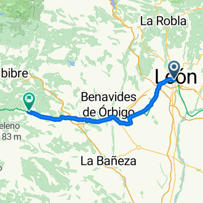
2025. 3 nap El Camino
- 75.2 km
- 635 m
- 326 m
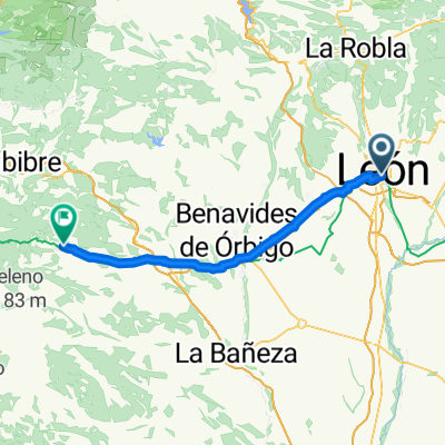
- León, Castille and León, Spain
A cycling route starting in León, Castille and León, Spain.
Overview
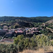
LEÓN-LORENZANA-LA ROBLA-ROBLES-VEGACERVERA-VALDETEJA-VALDELUGUEROS-VILLAVERDE DE LA CUERNA-VALDELUGUROS-LA VECILLA-ROBLES-GARRAFE-LEÓN
created this 2 years ago
Route quality
Road
73.5 km
(53 %)
Track
16.6 km
(12 %)
Paved
99.8 km
(72 %)
Unpaved
12.5 km
(9 %)
Asphalt
98.4 km
(71 %)
Gravel
12.5 km
(9 %)
Continue with Bikemap
You would like to ride VILLAVERDE DE LA CUERNA or customize it for your own trip? Here is what you can do with this Bikemap route:
Free trial for 3 days, or one-time payment. More about Bikemap Premium.
Discover more Premium features.
Get Bikemap PremiumFrom our community
Open it in the app