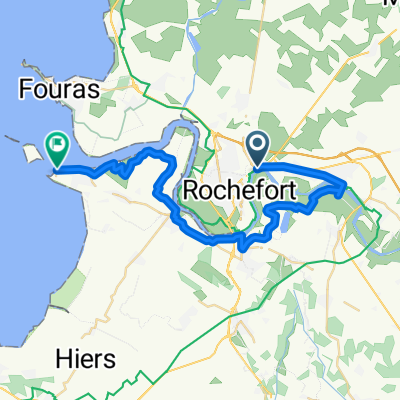
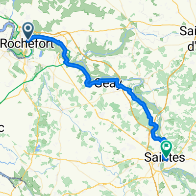
Rue Jean Jaurès, Rochefort a Rue de la Tartane, Royan
- 77.3 km
- 377 m
- 386 m
- Rochefort, Nouvelle-Aquitaine, France
A cycling route starting in Rochefort, Nouvelle-Aquitaine, France.
Overview
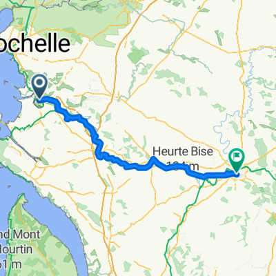
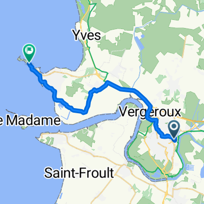
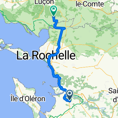
Continuing through marsh landscapes. First to La Rochelle, then to La-Tranche-sur-Mer. Many opportunities to eat oysters at stands by the roadside.
created this 2 years ago
Route quality
Quiet road
35.7 km
(32 %)
Road
32.3 km
(29 %)
Paved
72.4 km
(65 %)
Unpaved
11.1 km
(10 %)
Asphalt
70.2 km
(63 %)
Gravel
8.9 km
(8 %)
Continue with Bikemap
You would like to ride 10_Rochefort, La Rochelle bis La Tranche-sur-Mer or customize it for your own trip? Here is what you can do with this Bikemap route:
Free trial for 3 days, or one-time payment. More about Bikemap Premium.
Discover more Premium features.
Get Bikemap PremiumFrom our community
Open it in the app