武家屋敷と万葉の郷コース
- 23.1 km
- 96 m
- 97 m
- Ishioka, Ibaraki, Japan
A cycling route starting in Ishioka, Ibaraki, Japan.
Overview
RwGPS 68.4Km +1,091m/-1,091m Event official MAP Download
created this 2 years ago


Route quality
Road
34.2 km
(50 %)
Quiet road
12.3 km
(18 %)
Paved
42.4 km
(62 %)
Unpaved
0.7 km
(1 %)
Asphalt
30.1 km
(44 %)
Paved (undefined)
12.3 km
(18 %)
Route highlights
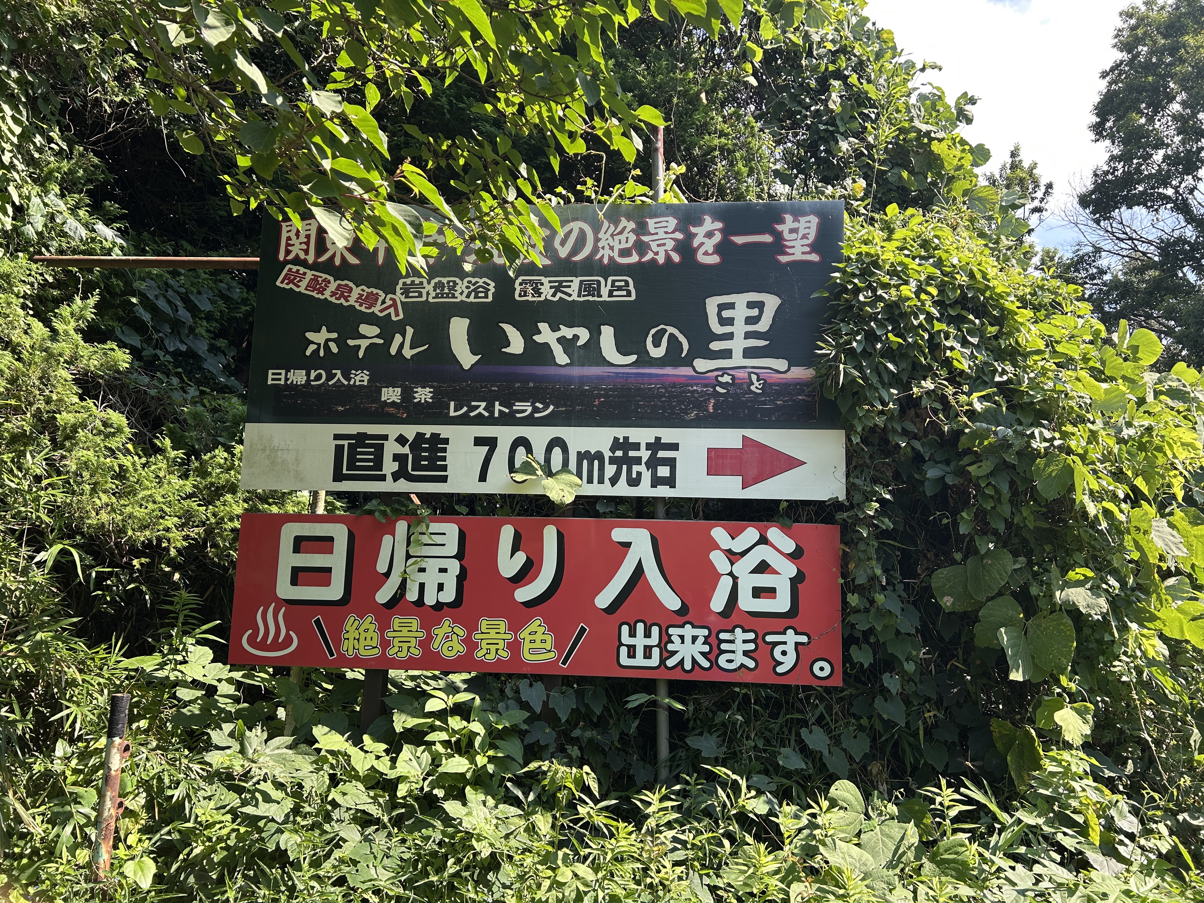
トイレ(コース外)
朝日峠駐車場
不動峠休憩所(コース外)
セイコーマート 八郷小幡店
日本一の獅子頭
Continue with Bikemap
You would like to ride 獅子頭ライド2023 ロングコース_68.3km 1086mUP or customize it for your own trip? Here is what you can do with this Bikemap route:
Free trial for 3 days, or one-time payment. More about Bikemap Premium.
Discover more Premium features.
Get Bikemap PremiumFrom our community
Open it in the app