
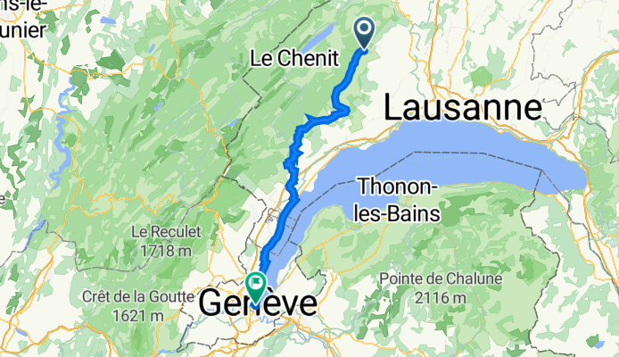
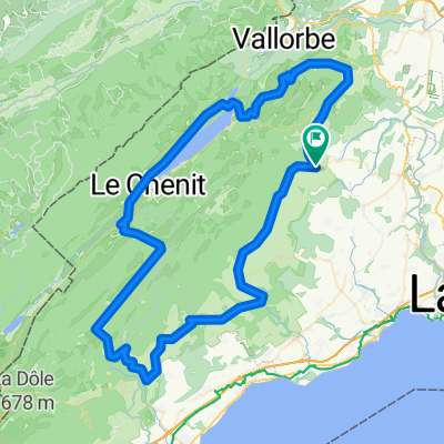
De Les Esserts 9, L'Isle à Bel-Air, Genf
A cycling route starting in Mauraz, Canton of Vaud, Switzerland.
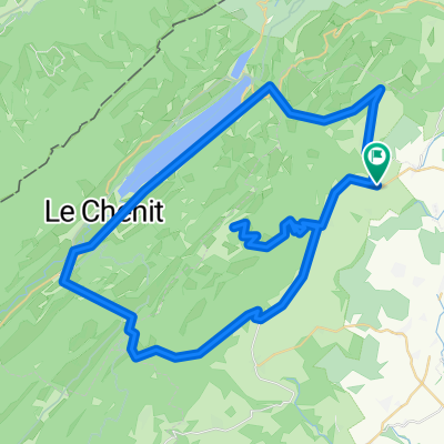
Overview
About this route
- 4 h 21 min
- Duration
- 66.8 km
- Distance
- 651 m
- Ascent
- 998 m
- Descent
- 15.4 km/h
- Avg. speed
- 880 m
- Max. altitude

Route quality
Waytypes & surfaces along the route
Waytypes
Road
34.8 km
(52 %)
Cycleway
11.4 km
(17 %)
Surfaces
Paved
26.7 km
(40 %)
Asphalt
25.4 km
(38 %)
Concrete
1.3 km
(2 %)
Undefined
40.1 km
(60 %)
Continue with Bikemap
Use, edit, or download this cycling route
You would like to ride De Les Esserts 9, L'Isle à Bel-Air, Genf or customize it for your own trip? Here is what you can do with this Bikemap route:
Free features
- Save this route as favorite or in collections
- Copy & plan your own version of this route
- Sync your route with Garmin or Wahoo
Premium features
Free trial for 3 days, or one-time payment. More about Bikemap Premium.
- Navigate this route on iOS & Android
- Export a GPX / KML file of this route
- Create your custom printout (try it for free)
- Download this route for offline navigation
Discover more Premium features.
Get Bikemap PremiumFrom our community
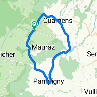
Other popular routes starting in Mauraz
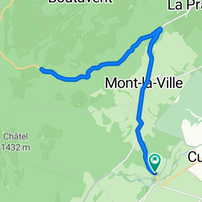 L'Isle mollendruz L'Isle
- Distance
- 19.2 km
- Ascent
- 507 m
- Descent
- 507 m
- Location
- Mauraz, Canton of Vaud, Switzerland
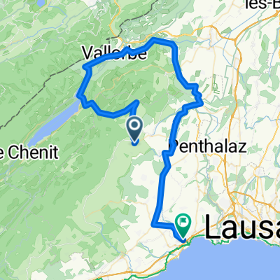 L'isle-Mollendruz-Le pont-Vallorbe-Morges
- Distance
- 74.1 km
- Ascent
- 784 m
- Descent
- 1,050 m
- Location
- Mauraz, Canton of Vaud, Switzerland
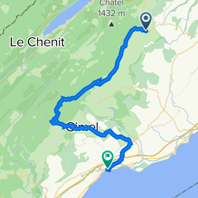 Sortie week-end au bord de l'eau
- Distance
- 37.7 km
- Ascent
- 703 m
- Descent
- 987 m
- Location
- Mauraz, Canton of Vaud, Switzerland
 Boucle L'Isle- Bière - Le Brassus -Vaulion
- Distance
- 94.6 km
- Ascent
- 1,239 m
- Descent
- 1,239 m
- Location
- Mauraz, Canton of Vaud, Switzerland
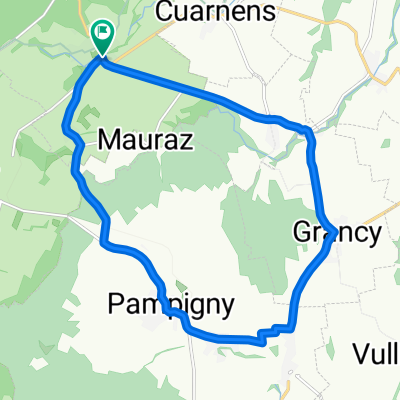
 Chemin de la Cure 2–14, L'Isle to Chemin de la Cure 2–14, L'Isle
- Distance
- 15 km
- Ascent
- 90 m
- Descent
- 90 m
- Location
- Mauraz, Canton of Vaud, Switzerland
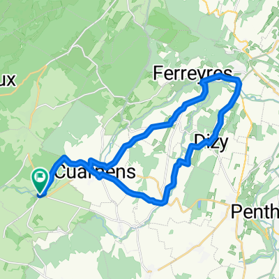 Chachoux: la Chaux - la Sarraz - Chevilly
- Distance
- 23.2 km
- Ascent
- 303 m
- Descent
- 303 m
- Location
- Mauraz, Canton of Vaud, Switzerland
 Chemin de la Cure 2–14, L'Isle to Chemin de la Cure 2–14, L'Isle
- Distance
- 15.2 km
- Ascent
- 100 m
- Descent
- 100 m
- Location
- Mauraz, Canton of Vaud, Switzerland
 Mont-Tendre - Marchairuz - Mollendruz
- Distance
- 72 km
- Ascent
- 1,829 m
- Descent
- 1,829 m
- Location
- Mauraz, Canton of Vaud, Switzerland
Open it in the app