


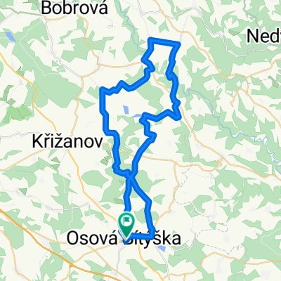
sever 1
- 46.7 km
- 729 m
- 724 m
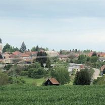
- Velká Bíteš, Kraj Vysočina, Czechia
Rund um Velká Bíteš
A cycling route starting in Velká Bíteš, Kraj Vysočina, Czechia.
Overview
created this 2 years ago
Part of
Rund um Velká Bíteš
2 stages

Route quality
Road
21.8 km
(35 %)
Quiet road
16.2 km
(26 %)
Paved
15 km
(24 %)
Unpaved
3.7 km
(6 %)
Asphalt
13.1 km
(21 %)
Gravel
2.5 km
(4 %)
Continue with Bikemap
You would like to ride Velká Bíteš Radfahren or customize it for your own trip? Here is what you can do with this Bikemap route:
Free trial for 3 days, or one-time payment. More about Bikemap Premium.
Discover more Premium features.
Get Bikemap PremiumFrom our community
Open it in the app


