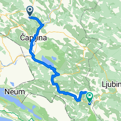

Zitomislici-Pocitelj
- 14.1 km
- 23 m
- 77 m
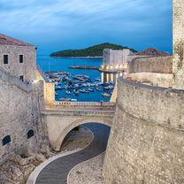
- Čitluk, Federation of Bosnia and Herzegovina, Bosnia and Herzegovina
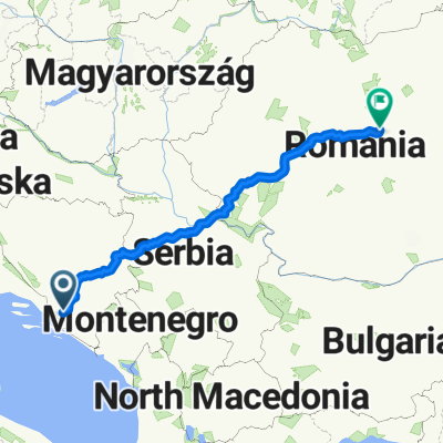
Albania_Montenegro_Bosnia_Croazia
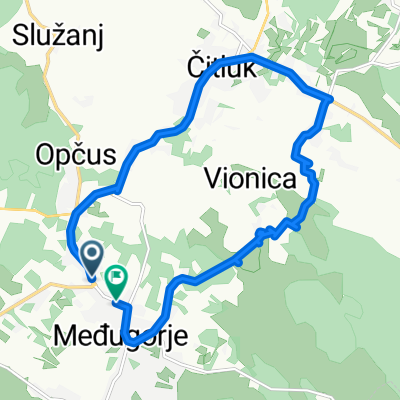
A cycling route starting in Čitluk, Federation of Bosnia and Herzegovina, Bosnia and Herzegovina.
Overview
created this 2 years ago
Part of
Route quality
Quiet road
10.1 km
(9 %)
Access road
5.6 km
(5 %)
Paved
98.1 km
(87 %)
Asphalt
98.1 km
(87 %)
Undefined
14.7 km
(13 %)
Continue with Bikemap
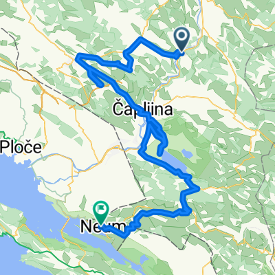
You would like to ride Stage7_Medjugorie_Makaraska_Omis or customize it for your own trip? Here is what you can do with this Bikemap route:
Free trial for 3 days, or one-time payment. More about Bikemap Premium.
Discover more Premium features.
Get Bikemap PremiumFrom our community
Open it in the app