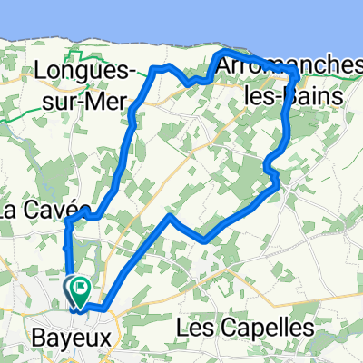
Avenue de la Vallée des Prés, Bayeux naar Avenue de la Vallée des Prés, Bayeux
- 24.7 km
- 212 m
- 215 m
- Bayeux, Normandy, France
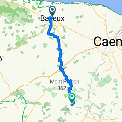
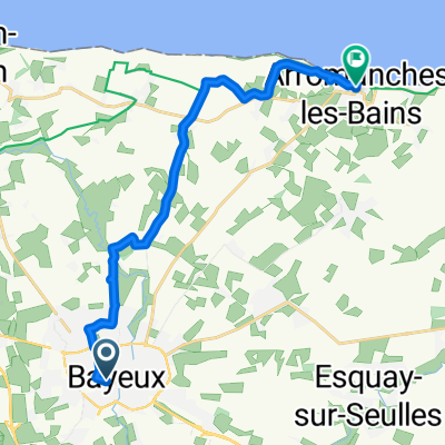
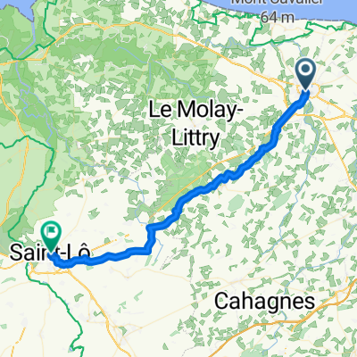
A cycling route starting in Bayeux, Normandy, France.
Overview
<span style="font-size: 9.0pt; font-family: "Verdana","sans-serif"; mso-fareast-font-family: Calibri; mso-fareast-theme-font: minor-latin; mso-bidi-font-family: "Times New Roman"; mso-bidi-theme-font: minor-bidi; color: black; background: white; mso-ansi-language: FR; mso-fareast-language: EN-US; mso-bidi-language: AR-SA;" lang="FR">Mairie de Bayeux</span><span style="font-size: 9.0pt; font-family: "Verdana","sans-serif"; mso-fareast-font-family: Calibri; mso-fareast-theme-font: minor-latin; mso-bidi-font-family: "Times New Roman"; mso-bidi-theme-font: minor-bidi; color: black; mso-ansi-language: FR; mso-fareast-language: EN-US; mso-bidi-language: AR-SA;" lang="FR"><br /> <span><span style="background: white;"><span style="float: none;">19 rue laitière</span></span></span><br /> <span><span style="background: white;"><span style="float: none;">14402 bayeux cedex</span></span></span></span>
to
<span style="color: #000000; font-size: 12px;">Mairie d'Auderville</span><br style="text-decoration: none; font-size: 12px; color: #000000; padding: 0px; margin: 0px;" /><span style="color: #000000; font-size: 12px;">le bourg</span><br style="text-decoration: none; font-size: 12px; color: #000000; padding: 0px; margin: 0px;" /><span style="color: #000000; font-size: 12px;">50440 auderville</span>
created this 14 years ago
Route quality
Road
18.7 km
(12 %)
Quiet road
18.7 km
(12 %)
Paved
127.7 km
(82 %)
Unpaved
1.6 km
(1 %)
Asphalt
127.7 km
(82 %)
Gravel
1.6 km
(1 %)
Undefined
26.5 km
(17 %)
Continue with Bikemap
You would like to ride S stage 19 ..... Bayeux – Auderville 9 Sept 2012 or customize it for your own trip? Here is what you can do with this Bikemap route:
Free trial for 3 days, or one-time payment. More about Bikemap Premium.
Discover more Premium features.
Get Bikemap PremiumFrom our community
Open it in the app