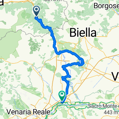
Via Francigena del Nord Aosta- Bergamo
2/6) Verrès- Cavaglià
A cycling route starting in Verrès, Aosta Valley, Italy.
Overview
About this route
null
- -:--
- Duration
- 62 km
- Distance
- 648 m
- Ascent
- 761 m
- Descent
- ---
- Avg. speed
- 404 m
- Max. altitude
Part of
Route quality
Waytypes & surfaces along the route
Waytypes
Quiet road
25.4 km
(41 %)
Road
10.5 km
(17 %)
Surfaces
Paved
29.8 km
(48 %)
Unpaved
6.8 km
(11 %)
Asphalt
29.1 km
(47 %)
Gravel
3.7 km
(6 %)
Continue with Bikemap
Use, edit, or download this cycling route
You would like to ride 2/6) Verrès- Cavaglià or customize it for your own trip? Here is what you can do with this Bikemap route:
Free features
- Save this route as favorite or in collections
- Copy & plan your own version of this route
- Sync your route with Garmin or Wahoo
Premium features
Free trial for 3 days, or one-time payment. More about Bikemap Premium.
- Navigate this route on iOS & Android
- Export a GPX / KML file of this route
- Create your custom printout (try it for free)
- Download this route for offline navigation
Discover more Premium features.
Get Bikemap PremiumFrom our community
Other popular routes starting in Verrès
Verres-Ivrea.Viverone-Chivasso- Distance
- 113.3 km
- Ascent
- 441 m
- Descent
- 624 m
- Location
- Verrès, Aosta Valley, Italy
addio al celibato: verres-saint vincent-col de joux-barmasc-col tze core-saint vincent-verres- Distance
- 108.9 km
- Ascent
- 2,345 m
- Descent
- 2,334 m
- Location
- Verrès, Aosta Valley, Italy
2/6) Verrès- Cavaglià- Distance
- 62 km
- Ascent
- 648 m
- Descent
- 761 m
- Location
- Verrès, Aosta Valley, Italy
Colle Vert Enduro (Verres Aosta)- Distance
- 21.8 km
- Ascent
- 1,024 m
- Descent
- 1,025 m
- Location
- Verrès, Aosta Valley, Italy
Vall d'Ayas e Vall di Gressoney- Distance
- 94.3 km
- Ascent
- 2,251 m
- Descent
- 2,251 m
- Location
- Verrès, Aosta Valley, Italy
Zuccore, san pantaleone e Joux- Distance
- 108.1 km
- Ascent
- 3,543 m
- Descent
- 3,551 m
- Location
- Verrès, Aosta Valley, Italy
Vall d'Ayas e Vall di Gressoney- Distance
- 94.3 km
- Ascent
- 2,267 m
- Descent
- 2,267 m
- Location
- Verrès, Aosta Valley, Italy
Col d'Arlaz, Col Tsecore e Col de Joux- Distance
- 61.2 km
- Ascent
- 2,086 m
- Descent
- 2,086 m
- Location
- Verrès, Aosta Valley, Italy
Open it in the app


