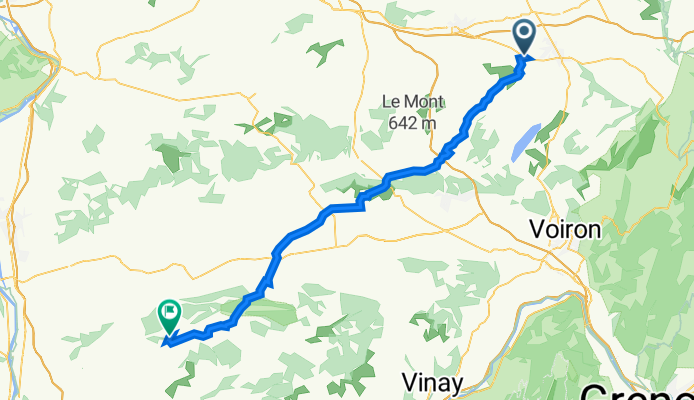
Saint-Andre le Gaz - Hauterives etape 3
A cycling route starting in Saint-André-le-Gaz, Auvergne-Rhône-Alpes, France.
Overview
About this route
- -:--
- Duration
- 60.7 km
- Distance
- 654 m
- Ascent
- 734 m
- Descent
- ---
- Avg. speed
- 578 m
- Avg. speed
Route quality
Waytypes & surfaces along the route
Waytypes
Quiet road
41.4 km
(68 %)
Road
17.9 km
(29 %)
Surfaces
Paved
15.5 km
(26 %)
Asphalt
15.5 km
(26 %)
Undefined
45.2 km
(74 %)
Continue with Bikemap
Use, edit, or download this cycling route
You would like to ride Saint-Andre le Gaz - Hauterives etape 3 or customize it for your own trip? Here is what you can do with this Bikemap route:
Free features
- Save this route as favorite or in collections
- Copy & plan your own version of this route
- Sync your route with Garmin or Wahoo
Premium features
Free trial for 3 days, or one-time payment. More about Bikemap Premium.
- Navigate this route on iOS & Android
- Export a GPX / KML file of this route
- Create your custom printout (try it for free)
- Download this route for offline navigation
Discover more Premium features.
Get Bikemap PremiumFrom our community
Other popular routes starting in Saint-André-le-Gaz
- st andré-lrs échelles
- Distance
- 39.3 km
- Ascent
- 711 m
- Descent
- 714 m
- Location
- Saint-André-le-Gaz, Auvergne-Rhône-Alpes, France
- Rue Vaucanson 8, Saint-André-le-Gaz nach Rue Madier de Montjau 15, Valence
- Distance
- 101.9 km
- Ascent
- 929 m
- Descent
- 1,204 m
- Location
- Saint-André-le-Gaz, Auvergne-Rhône-Alpes, France
- Saint-Andre le Gaz - Hauterives etape 3
- Distance
- 60.7 km
- Ascent
- 654 m
- Descent
- 734 m
- Location
- Saint-André-le-Gaz, Auvergne-Rhône-Alpes, France
- De Äå’È? à Äå’È?
- Distance
- 10.1 km
- Ascent
- 192 m
- Descent
- 192 m
- Location
- Saint-André-le-Gaz, Auvergne-Rhône-Alpes, France
- Saint-André->Chambéry
- Distance
- 81.4 km
- Ascent
- 796 m
- Descent
- 926 m
- Location
- Saint-André-le-Gaz, Auvergne-Rhône-Alpes, France
- Grand Colombier
- Distance
- 139.1 km
- Ascent
- 1,737 m
- Descent
- 1,726 m
- Location
- Saint-André-le-Gaz, Auvergne-Rhône-Alpes, France
- De Rue Lavoisier 20, Saint-André-le-Gaz à Route du Lac 72, Paladru
- Distance
- 14.7 km
- Ascent
- 292 m
- Descent
- 199 m
- Location
- Saint-André-le-Gaz, Auvergne-Rhône-Alpes, France
- Recovered Route
- Distance
- 7.8 km
- Ascent
- 32 m
- Descent
- 121 m
- Location
- Saint-André-le-Gaz, Auvergne-Rhône-Alpes, France
Open it in the app