
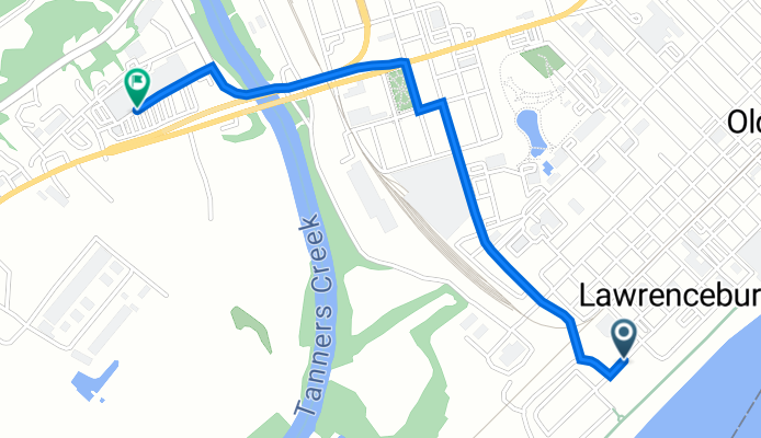

268–298 W High St, Lawrenceburg to Aep St, Lawrenceburg
- 14.1 km
- 73 m
- 57 m
- Lawrenceburg, Indiana, United States
A cycling route starting in Lawrenceburg, Indiana, United States.
Overview
created this 3 years ago
Route quality
Quiet road
1.1 km
59 %
Access road
0.2 km
12 %
Undefined
0.5 km
29 %
Paved
0.5 km
(29 %)
Asphalt
0.5 km
29 %
Undefined
1.3 km
71 %
Continue with Bikemap
You would like to ride 500 W High St, Lawrenceburg to 395 W Eads Pkwy, Lawrenceburg or customize it for your own trip? Here is what you can do with this Bikemap route:
Free trial for 3 days, or one-time payment. More about Bikemap Premium.
Discover more Premium features.
Get Bikemap PremiumFrom our community
Open it in the app


