

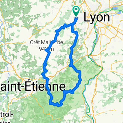
Chemin de la Brosse, Marcy-l'Étoile à Charbonnières-les-Bains
A cycling route starting in Sainte-Consorce, Auvergne-Rhône-Alpes, France.
Overview
About this route
0
- 13 min
- Duration
- 2.9 km
- Distance
- 14 m
- Ascent
- 60 m
- Descent
- 13.3 km/h
- Avg. speed
- 307 m
- Max. altitude
Malorie GOMBA
created this 3 years ago
Route quality
Waytypes & surfaces along the route
Waytypes
Road
1.9 km
65 %
Quiet road
0.1 km
3 %
Surfaces
Paved
2.9 km
(98 %)
Asphalt
2.8 km
96 %
Concrete
0.1 km
2 %
Undefined
0.1 km
2 %
Continue with Bikemap
Use, edit, or download this cycling route
You would like to ride Chemin de la Brosse, Marcy-l'Étoile à Charbonnières-les-Bains or customize it for your own trip? Here is what you can do with this Bikemap route:
Free features
- Save this route as favorite or in collections
- Copy & plan your own version of this route
- Sync your route with Garmin or Wahoo
Premium features
Free trial for 3 days, or one-time payment. More about Bikemap Premium.
- Navigate this route on iOS & Android
- Export a GPX / KML file of this route
- Create your custom printout (try it for free)
- Download this route for offline navigation
Discover more Premium features.
Get Bikemap PremiumFrom our community
Other popular routes starting in Sainte-Consorce
- De 453–485 Route de Sainte-Consorce, Marcy-l'Étoile à 861–929 Chemin de la Madone, Sainte-Consorce0
- 0.3 km
- 10 m
- 0 m
- Sainte-Consorce, Auvergne-Rhône-Alpes, France
- De 393 Avenue Bourgelat, Marcy-l'Étoile à 6 Route de Brussieu, Brussieu0
- 19.6 km
- 313 m
- 290 m
- Sainte-Consorce, Auvergne-Rhône-Alpes, France
- marcy 1h vélo - col de la croix du ban0
- 21.4 km
- 402 m
- 402 m
- Sainte-Consorce, Auvergne-Rhône-Alpes, France


Open it in the app