

Albury to Myrtleford via Beechworth
A cycling route starting in West Albury, New South Wales, Australia.
Overview
About this route
- -:--
- Duration
- 74.3 km
- Distance
- 779 m
- Ascent
- 703 m
- Descent
- ---
- Avg. speed
- 598 m
- Max. altitude
Route quality
Waytypes & surfaces along the route
Waytypes
Quiet road
7.4 km
(10 %)
Cycleway
5.2 km
(7 %)
Surfaces
Paved
68.4 km
(92 %)
Unpaved
2.2 km
(3 %)
Asphalt
51.3 km
(69 %)
Paved (undefined)
17.1 km
(23 %)
Continue with Bikemap
Use, edit, or download this cycling route
You would like to ride Albury to Myrtleford via Beechworth or customize it for your own trip? Here is what you can do with this Bikemap route:
Free features
- Save this route as favorite or in collections
- Copy & plan your own version of this route
- Sync your route with Garmin or Wahoo
Premium features
Free trial for 3 days, or one-time payment. More about Bikemap Premium.
- Navigate this route on iOS & Android
- Export a GPX / KML file of this route
- Create your custom printout (try it for free)
- Download this route for offline navigation
Discover more Premium features.
Get Bikemap PremiumFrom our community
Other popular routes starting in West Albury
 329–331 Kremur St, West Albury to 5 Melrose Dr, Wodonga
- Distance
- 17.9 km
- Ascent
- 89 m
- Descent
- 79 m
- Location
- West Albury, New South Wales, Australia
 3–23 Wattle Way, West Albury to Splitters Creek
- Distance
- 5.8 km
- Ascent
- 32 m
- Descent
- 41 m
- Location
- West Albury, New South Wales, Australia
 Albury to Myrtleford via Yack
- Distance
- 74.9 km
- Ascent
- 444 m
- Descent
- 434 m
- Location
- West Albury, New South Wales, Australia
 Canoe ramp Wonga wetlands, Splitters Creek to Waterview Road, Splitters Creek
- Distance
- 0.8 km
- Ascent
- 10 m
- Descent
- 18 m
- Location
- West Albury, New South Wales, Australia
 Albury to Myrtleford via Beechworth
- Distance
- 74.3 km
- Ascent
- 779 m
- Descent
- 703 m
- Location
- West Albury, New South Wales, Australia
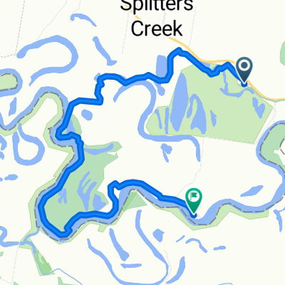 Splitters Creek to Splitters Creek
- Distance
- 9.1 km
- Ascent
- 22 m
- Descent
- 23 m
- Location
- West Albury, New South Wales, Australia
 Splitters Creek to 48 Noreuil Pde, South Albury
- Distance
- 9.8 km
- Ascent
- 50 m
- Descent
- 56 m
- Location
- West Albury, New South Wales, Australia
Open it in the app