

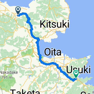
Kunisaki Touring
A cycling route starting in BungoTakada, Oita, Japan.
Overview
About this route
null
- -:--
- Duration
- 51.7 km
- Distance
- 1,205 m
- Ascent
- 1,207 m
- Descent
- ---
- Avg. speed
- 483 m
- Max. altitude

Route quality
Waytypes & surfaces along the route
Waytypes
Quiet road
12.4 km
(24 %)
Road
3.1 km
(6 %)
Surfaces
Paved
0.5 km
(1 %)
Unpaved
0.5 km
(1 %)
Paved (undefined)
0.5 km
(1 %)
Ground
0.5 km
(1 %)
Undefined
50.6 km
(98 %)
Route highlights
Points of interest along the route
Point of interest after 3.7 km
青宇田画像石
Point of interest after 11.8 km
川中不動。 川の中にある磨崖仏
Point of interest after 26.3 km
両子寺
Point of interest after 39.5 km
富貴寺
Point of interest after 40.5 km
地蔵堂磨崖仏
Point of interest after 40.8 km
元宮磨崖仏
Point of interest after 40.8 km
大門坊磨崖仏
Continue with Bikemap
Use, edit, or download this cycling route
You would like to ride Kunisaki Touring or customize it for your own trip? Here is what you can do with this Bikemap route:
Free features
- Save this route as favorite or in collections
- Copy & plan your own version of this route
- Sync your route with Garmin or Wahoo
Premium features
Free trial for 3 days, or one-time payment. More about Bikemap Premium.
- Navigate this route on iOS & Android
- Export a GPX / KML file of this route
- Create your custom printout (try it for free)
- Download this route for offline navigation
Discover more Premium features.
Get Bikemap PremiumFrom our community
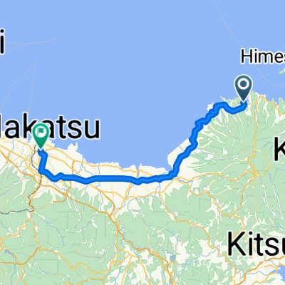
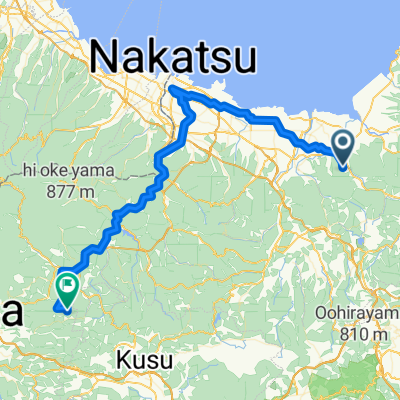
Other popular routes starting in BungoTakada
 Route to ぶんご鮨
- Distance
- 102.4 km
- Ascent
- 2,861 m
- Descent
- 2,874 m
- Location
- BungoTakada, Oita, Japan
 Kyushu B
- Distance
- 511.9 km
- Ascent
- 4,245 m
- Descent
- 4,351 m
- Location
- BungoTakada, Oita, Japan
 ferry to beppu - find somewhere to camp as no free ones
- Distance
- 77.2 km
- Ascent
- 313 m
- Descent
- 305 m
- Location
- BungoTakada, Oita, Japan
 japan9
- Distance
- 58.1 km
- Ascent
- 413 m
- Descent
- 406 m
- Location
- BungoTakada, Oita, Japan
 Kunisaki Touring
- Distance
- 51.7 km
- Ascent
- 1,205 m
- Descent
- 1,207 m
- Location
- BungoTakada, Oita, Japan
 BungoTakada - Hita
- Distance
- 73.2 km
- Ascent
- 1,351 m
- Descent
- 860 m
- Location
- BungoTakada, Oita, Japan
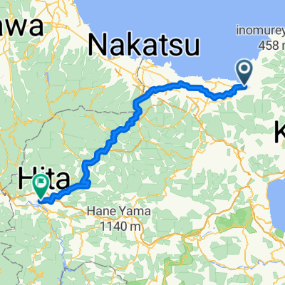 BungoTakada - Hita
- Distance
- 80.9 km
- Ascent
- 1,547 m
- Descent
- 1,469 m
- Location
- BungoTakada, Oita, Japan
Open it in the app