

Etape 15 bis Le Mazet / Groléjac
A cycling route starting in Lalbenque, Occitanie, France.
Overview
About this route
camping le lac de Groléjac
05 53 59 48 70
- -:--
- Duration
- 66.6 km
- Distance
- 881 m
- Ascent
- 1,100 m
- Descent
- ---
- Avg. speed
- 378 m
- Max. altitude

Route quality
Waytypes & surfaces along the route
Waytypes
Road
29.7 km
(45 %)
Quiet road
25.2 km
(38 %)
Surfaces
Paved
15.5 km
(23 %)
Unpaved
3.1 km
(5 %)
Asphalt
15.5 km
(23 %)
Gravel
3.1 km
(5 %)
Undefined
48 km
(72 %)
Continue with Bikemap
Use, edit, or download this cycling route
You would like to ride Etape 15 bis Le Mazet / Groléjac or customize it for your own trip? Here is what you can do with this Bikemap route:
Free features
- Save this route as favorite or in collections
- Copy & plan your own version of this route
- Sync your route with Garmin or Wahoo
Premium features
Free trial for 3 days, or one-time payment. More about Bikemap Premium.
- Navigate this route on iOS & Android
- Export a GPX / KML file of this route
- Create your custom printout (try it for free)
- Download this route for offline navigation
Discover more Premium features.
Get Bikemap PremiumFrom our community
Other popular routes starting in Lalbenque
 CIRCUIT LOT 100KM
- Distance
- 101 km
- Ascent
- 699 m
- Descent
- 700 m
- Location
- Lalbenque, Occitanie, France
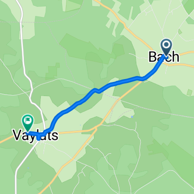 Place de l'Eglise, Bach nach Route de Lalbenque, Vaylats
- Distance
- 3.4 km
- Ascent
- 6 m
- Descent
- 26 m
- Location
- Lalbenque, Occitanie, France
 Etape 15 bis Le Mazet / Groléjac
- Distance
- 66.6 km
- Ascent
- 881 m
- Descent
- 1,100 m
- Location
- Lalbenque, Occitanie, France
 Vallée du LOT et du CELE Dimanche 15 05 2011
- Distance
- 105.1 km
- Ascent
- 719 m
- Descent
- 717 m
- Location
- Lalbenque, Occitanie, France
 Chemin de marcenac 500, Lalbenque to Loubéjac, Belfort-du-Quercy
- Distance
- 8.5 km
- Ascent
- 88 m
- Descent
- 170 m
- Location
- Lalbenque, Occitanie, France
 CIRCUIT DU CELE 100KM CLONED FROM ROUTE 969088
- Distance
- 97.2 km
- Ascent
- 644 m
- Descent
- 622 m
- Location
- Lalbenque, Occitanie, France
 Aveyron Loop 4
- Distance
- 244.2 km
- Ascent
- 6,242 m
- Descent
- 6,155 m
- Location
- Lalbenque, Occitanie, France
 Bike ride Lalbenque
- Distance
- 14.3 km
- Ascent
- 114 m
- Descent
- 112 m
- Location
- Lalbenque, Occitanie, France
Open it in the app