

Genève-Mt Mézenc-Mt Aigoual-Montpellier
A cycling route starting in Geneva, Canton of Geneva, Switzerland.
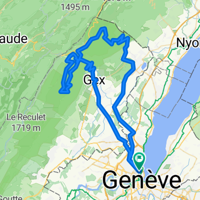
Overview
About this route
De Genève à Montpellier par ViaRhôna, les Terres Froides, les monts d'Ardèche, les vallées cévenoles, le Mt Aigoual, la frange sud des causses et la Méditerranée héraultaise. Le parcours suit essentiellement des routes secondaires silencieuses et quelques voies vertes.
Distance : 935 km
Dénivelé positif : 12'000 m
Durée : 59 heures (sur 12 jours)
Plus d'informations sur www.europebybike.info
- -:--
- Duration
- 880.2 km
- Distance
- 13,477 m
- Ascent
- 13,824 m
- Descent
- ---
- Avg. speed
- 1,541 m
- Max. altitude

Route quality
Waytypes & surfaces along the route
Waytypes
Busy road
339.8 km
(39 %)
Road
256.7 km
(29 %)
Surfaces
Paved
389.3 km
(44 %)
Unpaved
11.9 km
(1 %)
Asphalt
361.5 km
(41 %)
Paved (undefined)
16.8 km
(2 %)
Route highlights
Points of interest along the route
Accommodation after 38.8 km
Camping. Un autre à Seyssel.
Accommodation after 127.8 km
Camping Le Calatrin
Accommodation after 242.9 km
Camping Les îles de Silon
Accommodation after 302.2 km
Gîte d'étape St-Régis
Accommodation after 403.5 km
Camping des Issoux
Accommodation after 497.5 km
Camping Le Mas Pradal
Accommodation after 577.3 km
Gîte d'étape Le Recantou
Accommodation after 670.8 km
Camping Le Val d'Arre
Accommodation after 728.8 km
Camping des Sources

Point of interest after 739.1 km
Casse technique : je dois renoncer à la montagne pour me rapprocher du train.
Accommodation after 788.9 km
Camping Saint-Christol
Accommodation after 873.5 km
Camping Le Parc
Continue with Bikemap
Use, edit, or download this cycling route
You would like to ride Genève-Mt Mézenc-Mt Aigoual-Montpellier or customize it for your own trip? Here is what you can do with this Bikemap route:
Free features
- Save this route as favorite or in collections
- Copy & plan your own version of this route
- Split it into stages to create a multi-day tour
- Sync your route with Garmin or Wahoo
Premium features
Free trial for 3 days, or one-time payment. More about Bikemap Premium.
- Navigate this route on iOS & Android
- Export a GPX / KML file of this route
- Create your custom printout (try it for free)
- Download this route for offline navigation
Discover more Premium features.
Get Bikemap PremiumFrom our community
Other popular routes starting in Geneva
 Pas de l'Echine
- Distance
- 84.8 km
- Ascent
- 1,707 m
- Descent
- 1,705 m
- Location
- Geneva, Canton of Geneva, Switzerland
 Vallée Verte Col Hunting
- Distance
- 92.6 km
- Ascent
- 1,629 m
- Descent
- 1,577 m
- Location
- Geneva, Canton of Geneva, Switzerland
 Bords du Rhône (Petit Parcours)
- Distance
- 35.6 km
- Ascent
- 417 m
- Descent
- 417 m
- Location
- Geneva, Canton of Geneva, Switzerland
 J.6.Genf - Lyon Zentrum
- Distance
- 195.8 km
- Ascent
- 1,023 m
- Descent
- 1,174 m
- Location
- Geneva, Canton of Geneva, Switzerland
 Day 1 Geneva to La Clusaz
- Distance
- 105.8 km
- Ascent
- 2,193 m
- Descent
- 1,533 m
- Location
- Geneva, Canton of Geneva, Switzerland
 Two cols 110 km nice hard ride
- Distance
- 118.1 km
- Ascent
- 2,037 m
- Descent
- 2,037 m
- Location
- Geneva, Canton of Geneva, Switzerland
 Tour du Bassin genevois (2)
- Distance
- 88.4 km
- Ascent
- 1,700 m
- Descent
- 1,699 m
- Location
- Geneva, Canton of Geneva, Switzerland
 Loop Gva-Vesancy-Vesancy-Gex-Malval
- Distance
- 77.6 km
- Ascent
- 1,029 m
- Descent
- 998 m
- Location
- Geneva, Canton of Geneva, Switzerland
Open it in the app