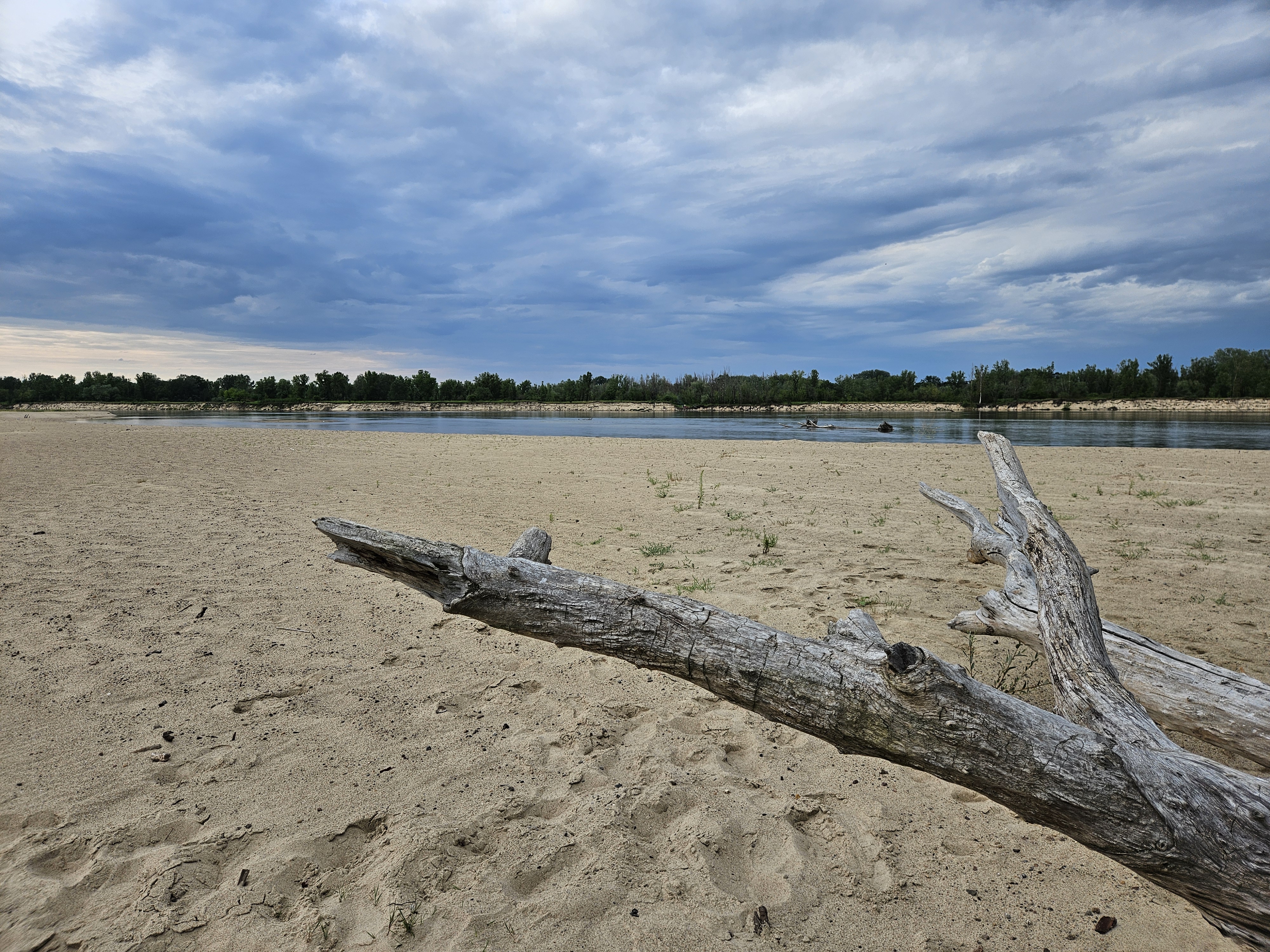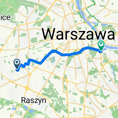
Obrońców Helu, Warszawa do Czerniakowska, Warszawa
- 14.1 km
- 33 m
- 61 m
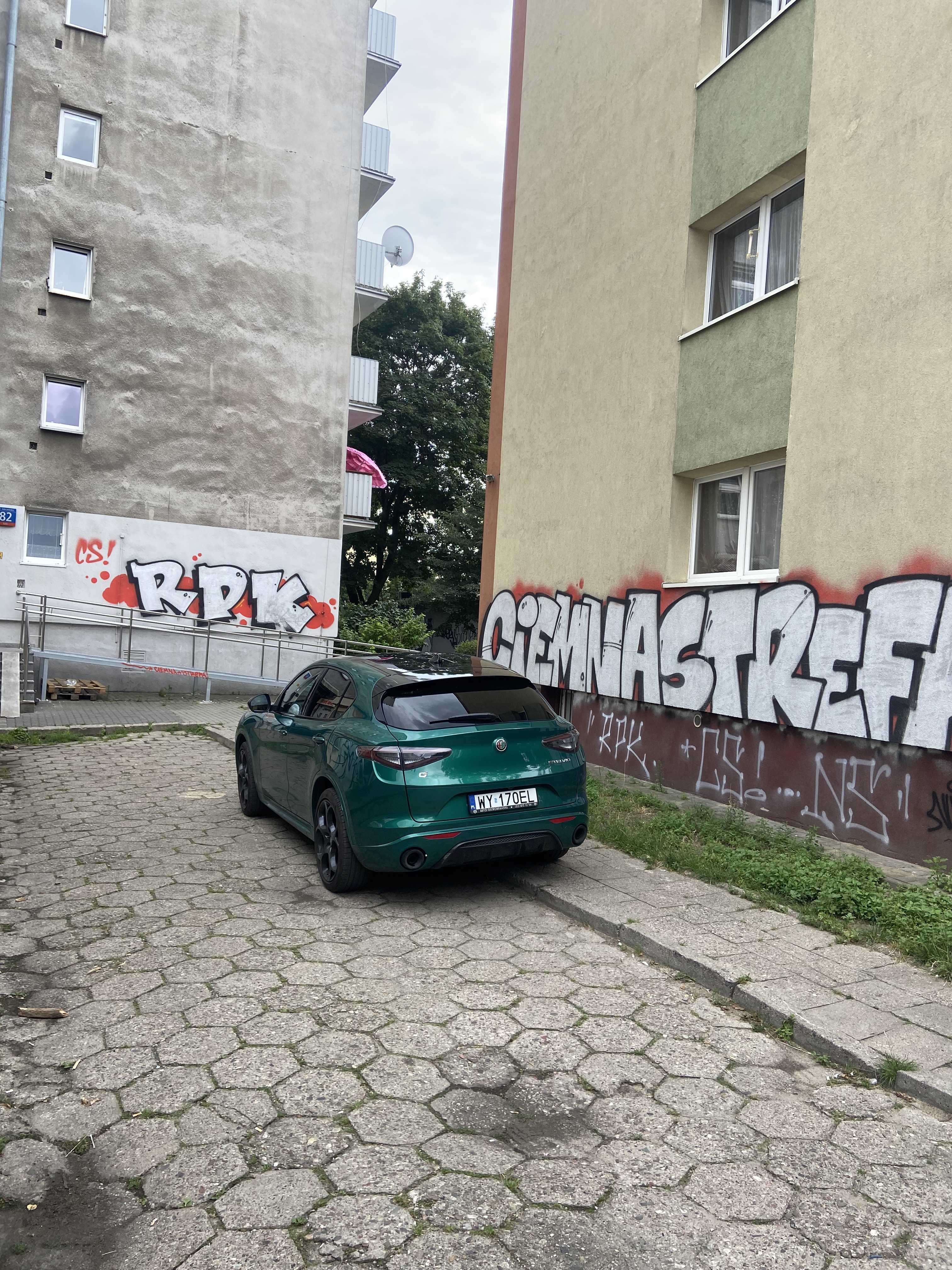
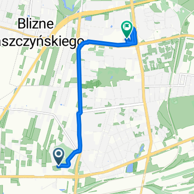
- Ursus, Masovian Voivodeship, Poland
A cycling route starting in Ursus, Masovian Voivodeship, Poland.
Overview
created this 2 years ago
Route quality
Cycleway
5.3 km
(33 %)
Quiet road
2.9 km
(18 %)
Paved
12.9 km
(81 %)
Asphalt
11.8 km
(74 %)
Paved (undefined)
1 km
(6 %)
Continue with Bikemap
You would like to ride Ursus Cieplownia - 16km or customize it for your own trip? Here is what you can do with this Bikemap route:
Free trial for 3 days, or one-time payment. More about Bikemap Premium.
Discover more Premium features.
Get Bikemap PremiumFrom our community
Open it in the app