

Iller,Donau,Tauber,Main
UT 04-2023: Ulm - Höchstädt a.d. Donau
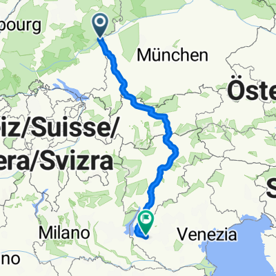
A cycling route starting in Ulm, Baden-Wurttemberg, Germany.
Overview
About this route
- -:--
- Duration
- 57.8 km
- Distance
- 109 m
- Ascent
- 172 m
- Descent
- ---
- Avg. speed
- 482 m
- Max. altitude

Part of
13 stages
Route quality
Waytypes & surfaces along the route
Waytypes
Track
31.8 km
(55 %)
Path
12.7 km
(22 %)
Surfaces
Paved
22.5 km
(39 %)
Unpaved
32.4 km
(56 %)
Asphalt
22.5 km
(39 %)
Gravel
22 km
(38 %)
Route highlights
Points of interest along the route
Accommodation after 0 km
Hotel Neuthor 06.-07.07. Neuer Graben 17, 89073 Ulm
Point of interest after 0.5 km
Ulmer Münster
Point of interest after 0.7 km
Altstadt
Point of interest after 0.9 km
Blaumündung/Kobelgraben
Point of interest after 21.8 km
Brunnen Leipheim
Point of interest after 30.1 km
Chill Point
Accommodation after 57.8 km
Hotel Zur Glocke 07.-08.07. Friedrich-von-Teck-Straße 12, 89420 Höchstädt an der Donau
Continue with Bikemap
Use, edit, or download this cycling route
You would like to ride UT 04-2023: Ulm - Höchstädt a.d. Donau or customize it for your own trip? Here is what you can do with this Bikemap route:
Free features
- Save this route as favorite or in collections
- Copy & plan your own version of this route
- Sync your route with Garmin or Wahoo
Premium features
Free trial for 3 days, or one-time payment. More about Bikemap Premium.
- Navigate this route on iOS & Android
- Export a GPX / KML file of this route
- Create your custom printout (try it for free)
- Download this route for offline navigation
Discover more Premium features.
Get Bikemap PremiumFrom our community
Other popular routes starting in Ulm
 Let's go
- Distance
- 516.9 km
- Ascent
- 6,839 m
- Descent
- 7,253 m
- Location
- Ulm, Baden-Wurttemberg, Germany
 Donautour 3.Etappe
- Distance
- 86.5 km
- Ascent
- 77 m
- Descent
- 146 m
- Location
- Ulm, Baden-Wurttemberg, Germany
 Mega-Allgäurunde
- Distance
- 269.5 km
- Ascent
- 2,148 m
- Descent
- 2,083 m
- Location
- Ulm, Baden-Wurttemberg, Germany
 E5. 9.7.25 Ulm nach Donauwörth
- Distance
- 96.5 km
- Ascent
- 254 m
- Descent
- 369 m
- Location
- Ulm, Baden-Wurttemberg, Germany
 BBB-Runde
- Distance
- 60.6 km
- Ascent
- 969 m
- Descent
- 919 m
- Location
- Ulm, Baden-Wurttemberg, Germany
 Zuhause-Kleines Lautertal-Bollingen-Zuhause_2024
- Distance
- 32.8 km
- Ascent
- 489 m
- Descent
- 492 m
- Location
- Ulm, Baden-Wurttemberg, Germany
 Ulm-Bodensee Runde
- Distance
- 235.6 km
- Ascent
- 1,596 m
- Descent
- 1,576 m
- Location
- Ulm, Baden-Wurttemberg, Germany
 Bibertal
- Distance
- 59.5 km
- Ascent
- 179 m
- Descent
- 179 m
- Location
- Ulm, Baden-Wurttemberg, Germany
Open it in the app