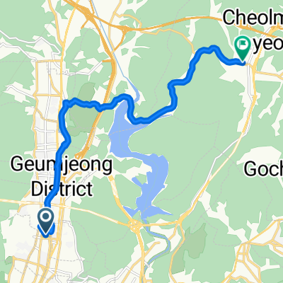
회동저수지 일원 2025.8.3 6시30~
- 21.1 km
- 119 m
- 145 m
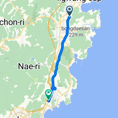
- Gijang, Busan, South Korea
A cycling route starting in Gijang, Busan, South Korea.
Overview
created this 2 years ago
Route quality
Road
37.3 km
(25 %)
Cycleway
35.8 km
(24 %)
Paved
20.9 km
(14 %)
Unpaved
1.5 km
(1 %)
Asphalt
20.9 km
(14 %)
Unpaved (undefined)
1.5 km
(1 %)
Undefined
126.9 km
(85 %)
Continue with Bikemap
You would like to ride Jung-dong 1064-8 to 초곡리종점, Pohang-si or customize it for your own trip? Here is what you can do with this Bikemap route:
Free trial for 3 days, or one-time payment. More about Bikemap Premium.
Discover more Premium features.
Get Bikemap PremiumFrom our community
Open it in the app
![727호Ph0]으로 라우팅](https://media.bikemap.net/routes/17821809/staticmaps/in_f48a72ca-4ea2-401a-9062-31d0b768172f_400x400_bikemap-2021-3D-static.png)
![대한민국Ph0]으로 라우팅](https://media.bikemap.net/routes/17378168/staticmaps/in_8e444948-0753-4cfc-b8ee-9166f5fb8294_400x400_bikemap-2021-3D-static.png)