

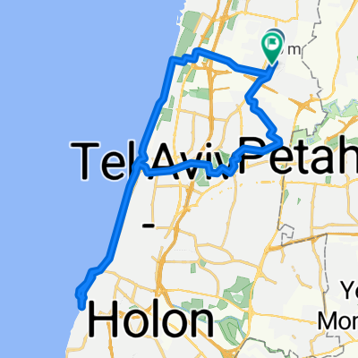
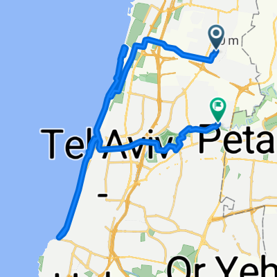
הרצליה רמת גן
A cycling route starting in Ramat HaSharon, Tel Aviv, Israel.
Overview
About this route
- 57 min
- Duration
- 8.6 km
- Distance
- 245 m
- Ascent
- 274 m
- Descent
- 9.1 km/h
- Avg. speed
- 106 m
- Max. altitude

Continue with Bikemap
Use, edit, or download this cycling route
You would like to ride הרצליה רמת גן or customize it for your own trip? Here is what you can do with this Bikemap route:
Free features
- Save this route as favorite or in collections
- Copy & plan your own version of this route
- Sync your route with Garmin or Wahoo
Premium features
Free trial for 3 days, or one-time payment. More about Bikemap Premium.
- Navigate this route on iOS & Android
- Export a GPX / KML file of this route
- Create your custom printout (try it for free)
- Download this route for offline navigation
Discover more Premium features.
Get Bikemap PremiumFrom our community
Other popular routes starting in Ramat HaSharon
 Steady ride
- Distance
- 44.6 km
- Ascent
- 216 m
- Descent
- 235 m
- Location
- Ramat HaSharon, Tel Aviv, Israel
 Relaxed route
- Distance
- 5.9 km
- Ascent
- 64 m
- Descent
- 55 m
- Location
- Ramat HaSharon, Tel Aviv, Israel
 Fast ride
- Distance
- 5.3 km
- Ascent
- 17 m
- Descent
- 104 m
- Location
- Ramat HaSharon, Tel Aviv, Israel
 Lunch Ride
- Distance
- 48.7 km
- Ascent
- 195 m
- Descent
- 194 m
- Location
- Ramat HaSharon, Tel Aviv, Israel
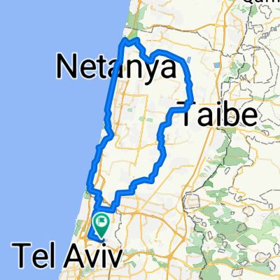 alexander
- Distance
- 91.3 km
- Ascent
- 546 m
- Descent
- 547 m
- Location
- Ramat HaSharon, Tel Aviv, Israel
 Cracking ride
- Distance
- 41.5 km
- Ascent
- 103 m
- Descent
- 187 m
- Location
- Ramat HaSharon, Tel Aviv, Israel
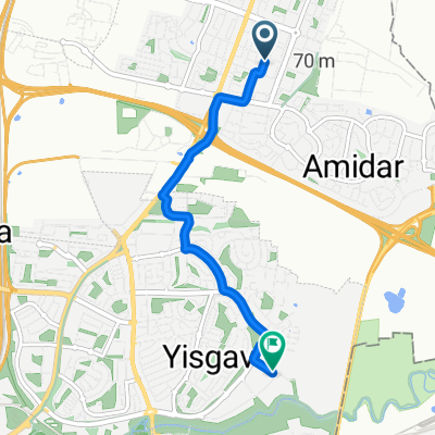
 חנה סנש 23, הרצליה to בן גוריון / הרב קוק, הרצליה
- Distance
- 26 km
- Ascent
- 223 m
- Descent
- 219 m
- Location
- Ramat HaSharon, Tel Aviv, Israel
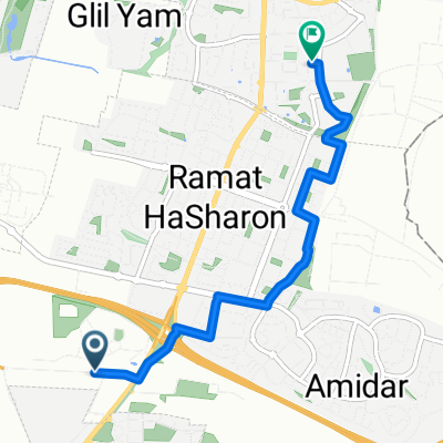
 הרצליה רמת גן
- Distance
- 8.6 km
- Ascent
- 245 m
- Descent
- 274 m
- Location
- Ramat HaSharon, Tel Aviv, Israel
Open it in the app