

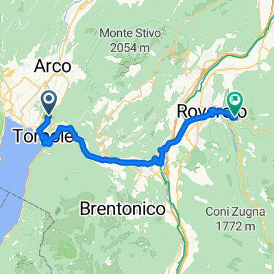
Monte Baldo Tour
A cycling route starting in Nago–Torbole, Trentino-Alto Adige, Italy.
Overview
About this route
- -:--
- Duration
- 112.5 km
- Distance
- 2,670 m
- Ascent
- 2,670 m
- Descent
- ---
- Avg. speed
- ---
- Max. altitude

Route quality
Waytypes & surfaces along the route
Waytypes
Road
43.9 km
(39 %)
Cycleway
13.5 km
(12 %)
Surfaces
Paved
103.5 km
(92 %)
Unpaved
4.5 km
(4 %)
Asphalt
102.4 km
(91 %)
Ground
3.4 km
(3 %)
Continue with Bikemap
Use, edit, or download this cycling route
You would like to ride Monte Baldo Tour or customize it for your own trip? Here is what you can do with this Bikemap route:
Free features
- Save this route as favorite or in collections
- Copy & plan your own version of this route
- Split it into stages to create a multi-day tour
- Sync your route with Garmin or Wahoo
Premium features
Free trial for 3 days, or one-time payment. More about Bikemap Premium.
- Navigate this route on iOS & Android
- Export a GPX / KML file of this route
- Create your custom printout (try it for free)
- Download this route for offline navigation
Discover more Premium features.
Get Bikemap PremiumFrom our community
Other popular routes starting in Nago–Torbole
 Via Linfano nach Via Achille Romani
- Distance
- 26.1 km
- Ascent
- 614 m
- Descent
- 274 m
- Location
- Nago–Torbole, Trentino-Alto Adige, Italy
 Aldeno-Garniga Terme-Bondone
- Distance
- 92.2 km
- Ascent
- 1,682 m
- Descent
- 1,831 m
- Location
- Nago–Torbole, Trentino-Alto Adige, Italy
 Monte stivo
- Distance
- 24.8 km
- Ascent
- 1,124 m
- Descent
- 1,114 m
- Location
- Nago–Torbole, Trentino-Alto Adige, Italy
 Torbole 62
- Distance
- 61.6 km
- Ascent
- 2,090 m
- Descent
- 2,090 m
- Location
- Nago–Torbole, Trentino-Alto Adige, Italy
 mikin 4
- Distance
- 50.7 km
- Ascent
- 1,984 m
- Descent
- 726 m
- Location
- Nago–Torbole, Trentino-Alto Adige, Italy
 Oesterreich - Dolomiti 7/7
- Distance
- 170 km
- Ascent
- 5,618 m
- Descent
- 5,402 m
- Location
- Nago–Torbole, Trentino-Alto Adige, Italy
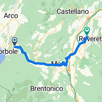 11 July Nago-Torbole to Piazzale Paolo Orsi, Rovereto
- Distance
- 17.6 km
- Ascent
- 178 m
- Descent
- 210 m
- Location
- Nago–Torbole, Trentino-Alto Adige, Italy
 Around Monte Baldo (From Nago-torbole)
- Distance
- 114.8 km
- Ascent
- 2,702 m
- Descent
- 2,703 m
- Location
- Nago–Torbole, Trentino-Alto Adige, Italy
Open it in the app