1. Mai
A cycling route starting in Bönen, North Rhine-Westphalia, Germany.
Overview
About this route
- 2 h 23 min
- Duration
- 38.8 km
- Distance
- 123 m
- Ascent
- 122 m
- Descent
- 16.3 km/h
- Avg. speed
- 117 m
- Max. altitude
Route quality
Waytypes & surfaces along the route
Waytypes
Path
15.8 km
(41 %)
Quiet road
10.3 km
(27 %)
Surfaces
Paved
29.1 km
(75 %)
Unpaved
6.5 km
(17 %)
Asphalt
24.3 km
(63 %)
Gravel
6.1 km
(16 %)
Continue with Bikemap
Use, edit, or download this cycling route
You would like to ride 1. Mai or customize it for your own trip? Here is what you can do with this Bikemap route:
Free features
- Save this route as favorite or in collections
- Copy & plan your own version of this route
- Sync your route with Garmin or Wahoo
Premium features
Free trial for 3 days, or one-time payment. More about Bikemap Premium.
- Navigate this route on iOS & Android
- Export a GPX / KML file of this route
- Create your custom printout (try it for free)
- Download this route for offline navigation
Discover more Premium features.
Get Bikemap PremiumFrom our community
Other popular routes starting in Bönen
- Zur Möhnetalsperre - nur 31,6 km
- Distance
- 31.6 km
- Ascent
- 290 m
- Descent
- 161 m
- Location
- Bönen, North Rhine-Westphalia, Germany
- Nordbögge-Schloss Cappenberg-Großes Holz
- Distance
- 45.1 km
- Ascent
- 271 m
- Descent
- 269 m
- Location
- Bönen, North Rhine-Westphalia, Germany
- Nordbögge-Blumen Hesse-Nordbögge
- Distance
- 27.1 km
- Ascent
- 61 m
- Descent
- 58 m
- Location
- Bönen, North Rhine-Westphalia, Germany
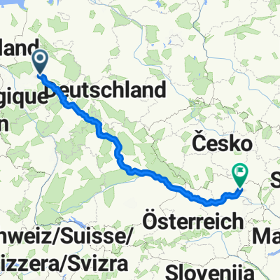
- Kleine Runde nach Bönen
- Distance
- 24.6 km
- Ascent
- 55 m
- Descent
- 53 m
- Location
- Bönen, North Rhine-Westphalia, Germany
- Fähre Lupia
- Distance
- 67.9 km
- Ascent
- 104 m
- Descent
- 104 m
- Location
- Bönen, North Rhine-Westphalia, Germany
- Buschrunde
- Distance
- 32.5 km
- Ascent
- 136 m
- Descent
- 136 m
- Location
- Bönen, North Rhine-Westphalia, Germany
- 1. Mai
- Distance
- 38.8 km
- Ascent
- 123 m
- Descent
- 122 m
- Location
- Bönen, North Rhine-Westphalia, Germany
- Friedhofstraße 21A, Bönen nach Friedhofstraße 14, Bönen
- Distance
- 42.1 km
- Ascent
- 174 m
- Descent
- 174 m
- Location
- Bönen, North Rhine-Westphalia, Germany
Open it in the app