

Schwäbische Alb Schwarzwald
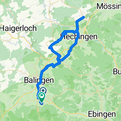
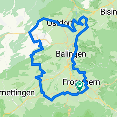
SAS-0106 Balingen bis Tuttlingen
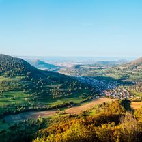
A cycling route starting in Balingen, Baden-Wurttemberg, Germany.
Overview
About this route
Autor: Schwäbische Alb Tourismusverband e.V. - Autor: Schwäbische Alb Tourismusverband e.V.
- -:--
- Duration
- 58.9 km
- Distance
- 1,345 m
- Ascent
- 1,228 m
- Descent
- ---
- Avg. speed
- 994 m
- Max. altitude

Part of
Schwäbische Alb Schwarzwald
7 stages
Route quality
Waytypes & surfaces along the route
Waytypes
Track
34.2 km
(58 %)
Quiet road
12.4 km
(21 %)
Surfaces
Paved
24.2 km
(41 %)
Unpaved
27.7 km
(47 %)
Gravel
27.1 km
(46 %)
Asphalt
22.4 km
(38 %)
Continue with Bikemap
Use, edit, or download this cycling route
You would like to ride SAS-0106 Balingen bis Tuttlingen or customize it for your own trip? Here is what you can do with this Bikemap route:
Free features
- Save this route as favorite or in collections
- Copy & plan your own version of this route
- Sync your route with Garmin or Wahoo
Premium features
Free trial for 3 days, or one-time payment. More about Bikemap Premium.
- Navigate this route on iOS & Android
- Export a GPX / KML file of this route
- Create your custom printout (try it for free)
- Download this route for offline navigation
Discover more Premium features.
Get Bikemap PremiumFrom our community
Other popular routes starting in Balingen
 Kloster kirchberg
- Distance
- 50.3 km
- Ascent
- 700 m
- Descent
- 699 m
- Location
- Balingen, Baden-Wurttemberg, Germany
 bodelshausen, grosselfingen engstlatt
- Distance
- 56.9 km
- Ascent
- 600 m
- Descent
- 573 m
- Location
- Balingen, Baden-Wurttemberg, Germany
 Zellerhorn
- Distance
- 63.5 km
- Ascent
- 1,137 m
- Descent
- 1,142 m
- Location
- Balingen, Baden-Wurttemberg, Germany
 erzingen dautmergen Stausee zck
- Distance
- 39.3 km
- Ascent
- 446 m
- Descent
- 419 m
- Location
- Balingen, Baden-Wurttemberg, Germany
 um Balingen, rosswg, geislingen, odorf, eyach engstl. binsenb.
- Distance
- 37.1 km
- Ascent
- 434 m
- Descent
- 487 m
- Location
- Balingen, Baden-Wurttemberg, Germany
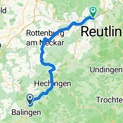 Balingen - Tübingen
- Distance
- 51.3 km
- Ascent
- 442 m
- Descent
- 644 m
- Location
- Balingen, Baden-Wurttemberg, Germany
 Hechinger Straße 1, Balingen nach Hechinger Straße 1, Balingen
- Distance
- 20.8 km
- Ascent
- 313 m
- Descent
- 313 m
- Location
- Balingen, Baden-Wurttemberg, Germany
 Relaxed route in Balingen
- Distance
- 68.5 km
- Ascent
- 1,181 m
- Descent
- 1,181 m
- Location
- Balingen, Baden-Wurttemberg, Germany
Open it in the app