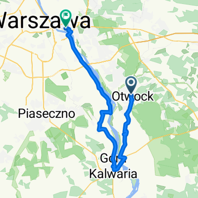
Warszawa
- 106.6 km
- 130 m
- 130 m
- Otwock, Masovian Voivodeship, Poland
A cycling route starting in Otwock, Masovian Voivodeship, Poland.
Overview
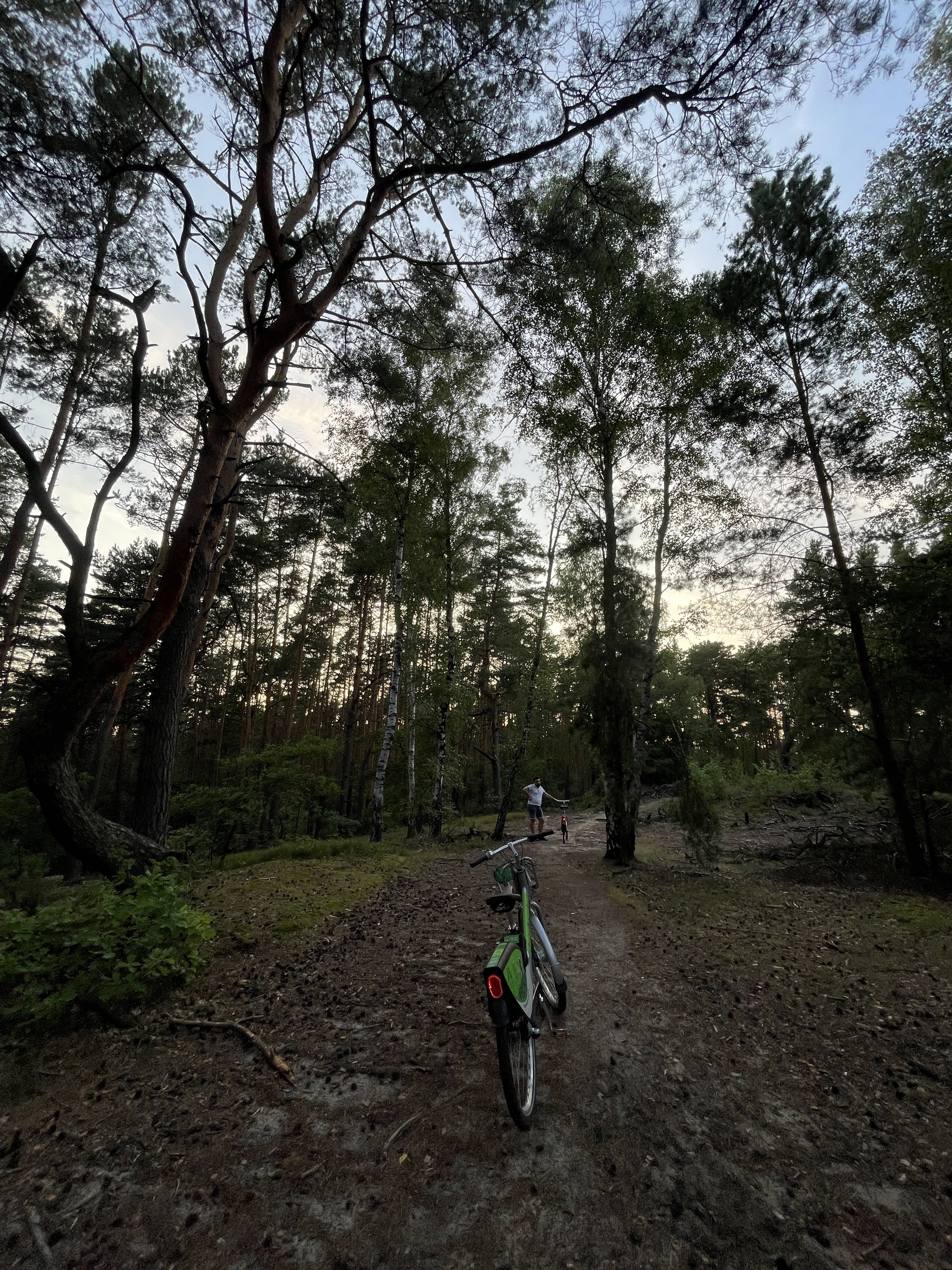
Very nice route of about 200 km. Mostly good asphalt and very little car traffic.
created this 14 years ago
Continue with Bikemap
You would like to ride ładny asfalt na +200 km w obie strony or customize it for your own trip? Here is what you can do with this Bikemap route:
Free trial for 3 days, or one-time payment. More about Bikemap Premium.
Discover more Premium features.
Get Bikemap PremiumFrom our community
Open it in the app