

Girolibero: Ciclabile dell'Altmühl per famiglie
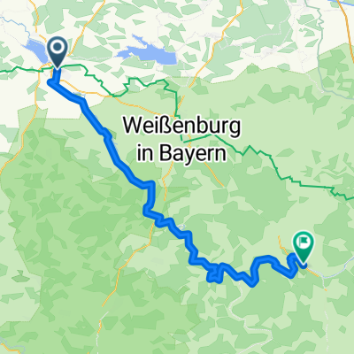
A cycling route starting in Gunzenhausen, Bavaria, Germany.
Overview
About this route
Overnights: Gunzenhausen, Treuchtlingen/Weißenburg, Eichstätt, Arnsberg/Kipfenberg/Böhming, Riedenburg, Regensburg
Transfer: Regensburg- Gunzenhausen Route: flat bike path, inside the Altmühl park is unpaved but very well maintained and signposted.- -:--
- Duration
- 159.4 km
- Distance
- 1,166 m
- Ascent
- 1,212 m
- Descent
- ---
- Avg. speed
- 566 m
- Max. altitude

Route quality
Waytypes & surfaces along the route
Waytypes
Road
23.9 km
(15 %)
Track
17.5 km
(11 %)
Surfaces
Paved
121.2 km
(76 %)
Unpaved
14.3 km
(9 %)
Asphalt
121.2 km
(76 %)
Loose gravel
8 km
(5 %)
Route highlights
Points of interest along the route
Accommodation after 0 km
Gunzenhausen
Accommodation after 23.6 km
Treuchtlingen
Accommodation after 54.7 km
Eichstätt
Point of interest after 74.2 km
Böhming
Point of interest after 74.7 km
Arnsberg
Accommodation after 76.3 km
Kipfenberg
Accommodation after 117 km
Riedenburg
Accommodation after 159.2 km
Regensburg
Continue with Bikemap
Use, edit, or download this cycling route
You would like to ride Girolibero: Ciclabile dell'Altmühl per famiglie or customize it for your own trip? Here is what you can do with this Bikemap route:
Free features
- Save this route as favorite or in collections
- Copy & plan your own version of this route
- Split it into stages to create a multi-day tour
- Sync your route with Garmin or Wahoo
Premium features
Free trial for 3 days, or one-time payment. More about Bikemap Premium.
- Navigate this route on iOS & Android
- Export a GPX / KML file of this route
- Create your custom printout (try it for free)
- Download this route for offline navigation
Discover more Premium features.
Get Bikemap PremiumFrom our community
Other popular routes starting in Gunzenhausen
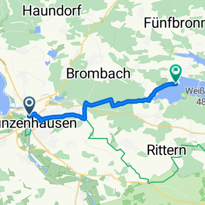
 Altmühltal Radweg
- Distance
- 152.6 km
- Ascent
- 334 m
- Descent
- 367 m
- Location
- Gunzenhausen, Bavaria, Germany
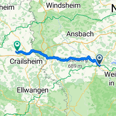 Von Gunzenhausen bis Kirchberg an der Jagst
- Distance
- 76.6 km
- Ascent
- 662 m
- Descent
- 705 m
- Location
- Gunzenhausen, Bavaria, Germany
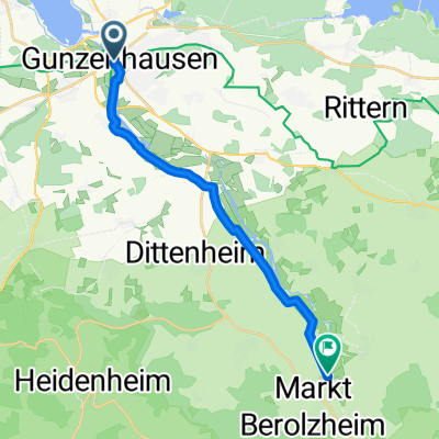
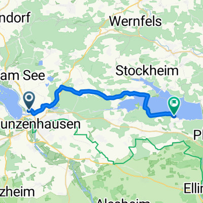
 Gunzenhausen Absberg
- Distance
- 11.9 km
- Ascent
- 117 m
- Descent
- 124 m
- Location
- Gunzenhausen, Bavaria, Germany
 Ruhige Route
- Distance
- 17 km
- Ascent
- 10 m
- Descent
- 22 m
- Location
- Gunzenhausen, Bavaria, Germany
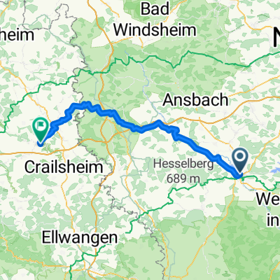 Von Kirchberg an der Jagst bis Gunzenhausen
- Distance
- 83.1 km
- Ascent
- 667 m
- Descent
- 665 m
- Location
- Gunzenhausen, Bavaria, Germany
 Gunzenhausen - Eichstätt
- Distance
- 69.4 km
- Ascent
- 507 m
- Descent
- 535 m
- Location
- Gunzenhausen, Bavaria, Germany
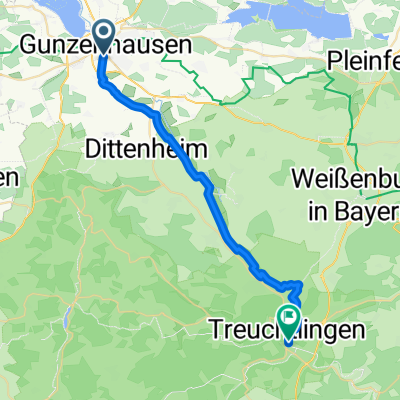 Tag 1 - Gun - Treucht
- Distance
- 26.7 km
- Ascent
- 32 m
- Descent
- 35 m
- Location
- Gunzenhausen, Bavaria, Germany
 Seestraße nach Leitenbuckstraße
- Distance
- 18.4 km
- Ascent
- 176 m
- Descent
- 167 m
- Location
- Gunzenhausen, Bavaria, Germany
Open it in the app