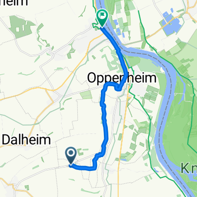
Straße ohne Straßennamen, Riedstadt nach Bahnhofstraße 18, Hirschberg an der Bergstraße
A cycling route starting in Ludwigshöhe, Rhineland-Palatinate, Germany.
Overview
About this route
- 1 min
- Duration
- 42.3 km
- Distance
- 97 m
- Ascent
- 66 m
- Descent
- 2,673.2 km/h
- Avg. speed
- 133 m
- Avg. speed
Continue with Bikemap
Use, edit, or download this cycling route
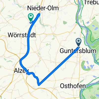
You would like to ride Straße ohne Straßennamen, Riedstadt nach Bahnhofstraße 18, Hirschberg an der Bergstraße or customize it for your own trip? Here is what you can do with this Bikemap route:
Free features
- Save this route as favorite or in collections
- Copy & plan your own version of this route
- Sync your route with Garmin or Wahoo
Premium features
Free trial for 3 days, or one-time payment. More about Bikemap Premium.
- Navigate this route on iOS & Android
- Export a GPX / KML file of this route
- Create your custom printout (try it for free)
- Download this route for offline navigation
Discover more Premium features.
Get Bikemap PremiumFrom our community
Other popular routes starting in Ludwigshöhe
- Kornsand-Kühkopf-Knoblochsaue
- Distance
- 19.7 km
- Ascent
- 75 m
- Descent
- 74 m
- Location
- Ludwigshöhe, Rhineland-Palatinate, Germany
- Straße ohne Straßennamen, Riedstadt nach Bahnhofstraße 18, Hirschberg an der Bergstraße
- Distance
- 42.3 km
- Ascent
- 97 m
- Descent
- 66 m
- Location
- Ludwigshöhe, Rhineland-Palatinate, Germany
- Route nach Hauptstraße, Eimsheim
- Distance
- 7.1 km
- Ascent
- 83 m
- Descent
- 36 m
- Location
- Ludwigshöhe, Rhineland-Palatinate, Germany
- Mainz-》 Frechen
- Distance
- 453.7 km
- Ascent
- 1,257 m
- Descent
- 1,186 m
- Location
- Ludwigshöhe, Rhineland-Palatinate, Germany
- Radtour am 9. Juni 2020
- Distance
- 55.9 km
- Ascent
- 39 m
- Descent
- 35 m
- Location
- Ludwigshöhe, Rhineland-Palatinate, Germany
- Rhein-Route D8 [Rheinland-Pfalz]
- Distance
- 20.6 km
- Ascent
- 76 m
- Descent
- 75 m
- Location
- Ludwigshöhe, Rhineland-Palatinate, Germany
- Ludwigshöhe nach Fritz-Rüffer-Straße, Oppenheim
- Distance
- 21.3 km
- Ascent
- 22 m
- Descent
- 23 m
- Location
- Ludwigshöhe, Rhineland-Palatinate, Germany
- B9, Ludwigshöhe nach Gimbsheimer Straße 46, Guntersblum
- Distance
- 6.9 km
- Ascent
- 89 m
- Descent
- 87 m
- Location
- Ludwigshöhe, Rhineland-Palatinate, Germany
Open it in the app