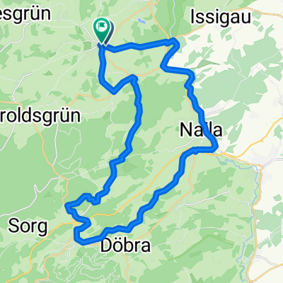
Bad Steben-Obersteben-Carlsgrün-Mordlau-Bad Steben
A cycling route starting in Bad Steben, Bavaria, Germany.
Overview
About this route
- 2 h 11 min
- Duration
- 8.9 km
- Distance
- 238 m
- Ascent
- 285 m
- Descent
- 4.1 km/h
- Avg. speed
- 658 m
- Max. altitude
Route quality
Waytypes & surfaces along the route
Waytypes
Quiet road
3.6 km
(40 %)
Track
1.7 km
(19 %)
Surfaces
Paved
5.4 km
(61 %)
Unpaved
2 km
(23 %)
Asphalt
5.1 km
(57 %)
Ground
1 km
(11 %)
Continue with Bikemap
Use, edit, or download this cycling route
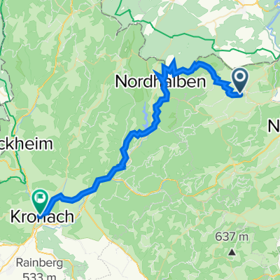
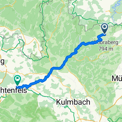
You would like to ride Bad Steben-Obersteben-Carlsgrün-Mordlau-Bad Steben or customize it for your own trip? Here is what you can do with this Bikemap route:
Free features
- Save this route as favorite or in collections
- Copy & plan your own version of this route
- Sync your route with Garmin or Wahoo
Premium features
Free trial for 3 days, or one-time payment. More about Bikemap Premium.
- Navigate this route on iOS & Android
- Export a GPX / KML file of this route
- Create your custom printout (try it for free)
- Download this route for offline navigation
Discover more Premium features.
Get Bikemap PremiumFrom our community
Other popular routes starting in Bad Steben
- Bad Steben - Naila - Schwarzenbach - Pechreuth - Bad Steben
- Distance
- 33.9 km
- Ascent
- 557 m
- Descent
- 561 m
- Location
- Bad Steben, Bavaria, Germany
- Die kleine Einführungsrunde
- Distance
- 15.6 km
- Ascent
- 218 m
- Descent
- 185 m
- Location
- Bad Steben, Bavaria, Germany
- Bad Steben neu
- Distance
- 10.7 km
- Ascent
- 162 m
- Descent
- 169 m
- Location
- Bad Steben, Bavaria, Germany
- Radtour mit vielen Höhenmetern
- Distance
- 105.6 km
- Ascent
- 1,956 m
- Descent
- 2,020 m
- Location
- Bad Steben, Bavaria, Germany
- 2010 Thüringen, Ostbayern, Böhmen Tag 4
- Distance
- 25.9 km
- Ascent
- 486 m
- Descent
- 457 m
- Location
- Bad Steben, Bavaria, Germany
- Bad Steben - Mörlareuth
- Distance
- 25.4 km
- Ascent
- 504 m
- Descent
- 526 m
- Location
- Bad Steben, Bavaria, Germany
- 005 komo-bad-steben-leipzig_export
- Distance
- 156.3 km
- Ascent
- 519 m
- Descent
- 976 m
- Location
- Bad Steben, Bavaria, Germany
- Frankenwald-Thüringen
- Distance
- 71.6 km
- Ascent
- 706 m
- Descent
- 713 m
- Location
- Bad Steben, Bavaria, Germany
Open it in the app