
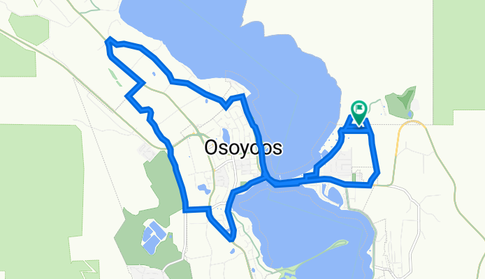
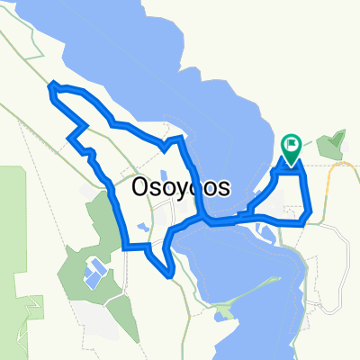
Osoyoos 1 to Osoyoos 1
A cycling route starting in Osoyoos, British Columbia, Canada.
Overview
About this route
- 57 min
- Duration
- 17.5 km
- Distance
- 100 m
- Ascent
- 101 m
- Descent
- 18.5 km/h
- Avg. speed
- 320 m
- Max. altitude

Continue with Bikemap
Use, edit, or download this cycling route
You would like to ride Osoyoos 1 to Osoyoos 1 or customize it for your own trip? Here is what you can do with this Bikemap route:
Free features
- Save this route as favorite or in collections
- Copy & plan your own version of this route
- Sync your route with Garmin or Wahoo
Premium features
Free trial for 3 days, or one-time payment. More about Bikemap Premium.
- Navigate this route on iOS & Android
- Export a GPX / KML file of this route
- Create your custom printout (try it for free)
- Download this route for offline navigation
Discover more Premium features.
Get Bikemap PremiumFrom our community
Other popular routes starting in Osoyoos
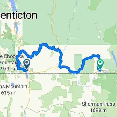
 Osoyoos - Oliver
- Distance
- 49.3 km
- Ascent
- 1,313 m
- Descent
- 843 m
- Location
- Osoyoos, British Columbia, Canada
 Osoyoos - Osoyoos
- Distance
- 26.6 km
- Ascent
- 275 m
- Descent
- 438 m
- Location
- Osoyoos, British Columbia, Canada
 8523 Main St, Osoyoos to 7902 Main St, Osoyoos
- Distance
- 24.4 km
- Ascent
- 186 m
- Descent
- 195 m
- Location
- Osoyoos, British Columbia, Canada
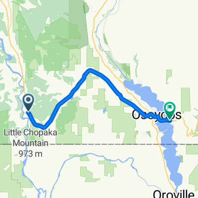
 Untitled route
- Distance
- 37.9 km
- Ascent
- 860 m
- Descent
- 835 m
- Location
- Osoyoos, British Columbia, Canada
 De Osoyoos à Grand Forks
- Distance
- 203.3 km
- Ascent
- 4,400 m
- Descent
- 4,163 m
- Location
- Osoyoos, British Columbia, Canada
 Osoyoos 1 to Osoyoos 1
- Distance
- 17.5 km
- Ascent
- 100 m
- Descent
- 101 m
- Location
- Osoyoos, British Columbia, Canada
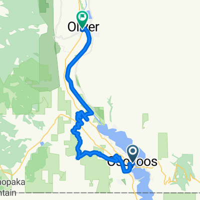
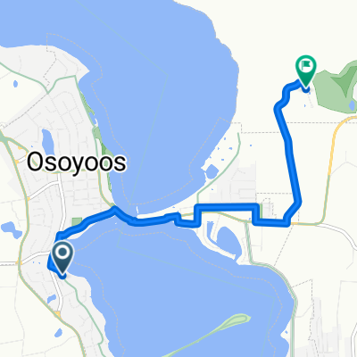 Oleander Dr, Osoyoos to Rancher Creek Rd, Osoyoos 1
- Distance
- 5.6 km
- Ascent
- 50 m
- Descent
- 19 m
- Location
- Osoyoos, British Columbia, Canada
 Osoyoos - Osoyoos
- Distance
- 48.9 km
- Ascent
- 128 m
- Descent
- 1,184 m
- Location
- Osoyoos, British Columbia, Canada
Open it in the app