PU12 D5
- 22.8 km
- 735 m
- 442 m
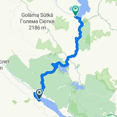
- Satovcha, Blagoevgrad, Bulgaria
A cycling route starting in Satovcha, Blagoevgrad, Bulgaria.
Overview
Monday, September 12, 2011. Day 9 of the Bulgaria journey, day 7 of cycling Start: 9:50 Camp before Sarnitsa, End: 19:00 Camp after Porino,
According to the speedometer: Distance: 56.0 km Riding time: 3h 46min Max speed: 53.2 km/h
According to the map: Starting altitude: 1274 m Ending altitude: 1108 m Max altitude: 1391 m Total ascent: 810 m Track length: 52 km
created this 14 years ago
Route quality
Road
37.9 km
72 %
Quiet road
8.4 km
16 %
Paved
27.3 km
(52 %)
Asphalt
27.3 km
52 %
Undefined
25.2 km
48 %
Continue with Bikemap
You would like to ride Bulgaaria rattamatk 9. päev, 12.09.2011 or customize it for your own trip? Here is what you can do with this Bikemap route:
Free trial for 3 days, or one-time payment. More about Bikemap Premium.
Discover more Premium features.
Get Bikemap PremiumFrom our community
Open it in the app