rd bajkam
- 31.5 km
- 962 m
- 1,250 m
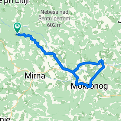
- Šentrupert na Dolenjskem, Občina Šentrupert, Slovenia
A cycling route starting in Šentrupert na Dolenjskem, Občina Šentrupert, Slovenia.
Overview
Krožna pot po poteh bl. Alojzija Grozdeta.
Šentrupert - Tržišče - Vodale - Malkovec - Mokronog - Mirna - Račje selo - Zaplaz - Goljek - Mirna - Vesela Gora - Šentrupert
created this 14 years ago
Route quality
Quiet road
50.6 km
(75 %)
Road
9.5 km
(14 %)
Paved
3.4 km
(5 %)
Unpaved
0.7 km
(1 %)
Asphalt
3.4 km
(5 %)
Gravel
0.7 km
(1 %)
Undefined
63.5 km
(94 %)
Continue with Bikemap
You would like to ride Grozdetova kolesarska pot or customize it for your own trip? Here is what you can do with this Bikemap route:
Free trial for 3 days, or one-time payment. More about Bikemap Premium.
Discover more Premium features.
Get Bikemap PremiumFrom our community
Open it in the app