4951 Meadowbrook Ln, Ellicott City to 8600 Foundry St, Savage
- 20.6 km
- 249 m
- 318 m
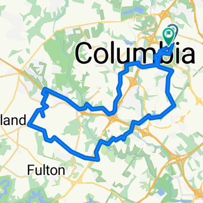
- Columbia, Maryland, United States
A cycling route starting in Columbia, Maryland, United States.
Overview
created this 2 years ago
Route quality
Quiet road
4.1 km
(54 %)
Path
1.7 km
(22 %)
Paved
5.2 km
(68 %)
Asphalt
4.7 km
(62 %)
Concrete
0.4 km
(5 %)
Continue with Bikemap
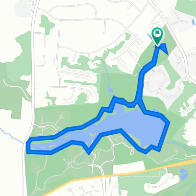
You would like to ride 8766 Cloudleap Ct, Columbia to 4486 Rolling Meadows Rd, Ellicott City or customize it for your own trip? Here is what you can do with this Bikemap route:
Free trial for 3 days, or one-time payment. More about Bikemap Premium.
Discover more Premium features.
Get Bikemap PremiumFrom our community
Open it in the app